
Activity Summary
- Date : 14th February 2026
- Distance : 6.26 km
- Ascent : 350 m
- Max Altitude : 611 m
- Time to Summit : 2:10 hrs
- Total Activation Time : 4:17 hrs
Weather
- Clear
- Temperature 0 ℃
- Feels like 3 ℃
- Humidity 84%
- Wind Speed 5.0 km/h
- Wind Direction WSW
Equipment Used
- Icom IC705 (10w)
- 2m Flowerpot antenna (homebrew)
- SOTABEAMS Carbon 6 pole
- PoLo logging app on iPad mini
Parking Location What3Words
///tour.treatable.hopedActivation Report
The weather this February hasn’t been great so far. So when I saw a clear day appear in the forecast, I jumped at the chance to get out. We left the house at around 9:30 am on Saturday morning. The temperature gauge in the car was reading -1 Degrees Celsius, and it didn’t rise above zero for the whole journey.
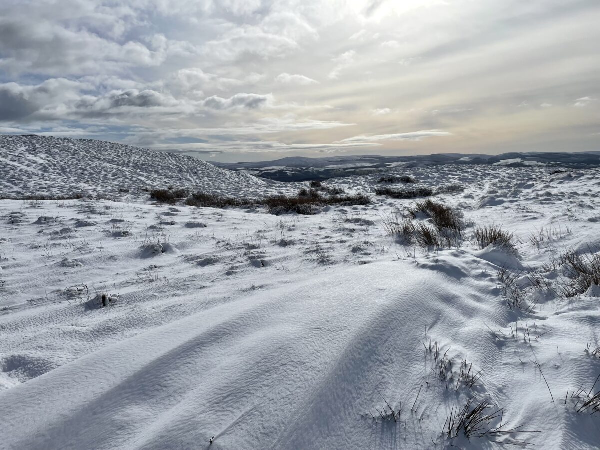
We started the walk from the village of Llangwm, where we had parked in front of the church. The carpark is located at SH96669 44637. We set off walking on the road just before 10:30 am. The road section lasts for about 1.5km, and it should be noted, that some people park at the end of this road, but we prefer to park in the village. As we left the tarmac track and headed up through the first field, we had also reached the snow line. At first the snow wasn’t too deep but it did slow the going.

We climbed to the ridge line and were met with fantastic views of the snow capped Berwyns. From this point we crossed over the stile to make the final ascent. The walking became more challenging from this point, as the drift snow became much deeper.
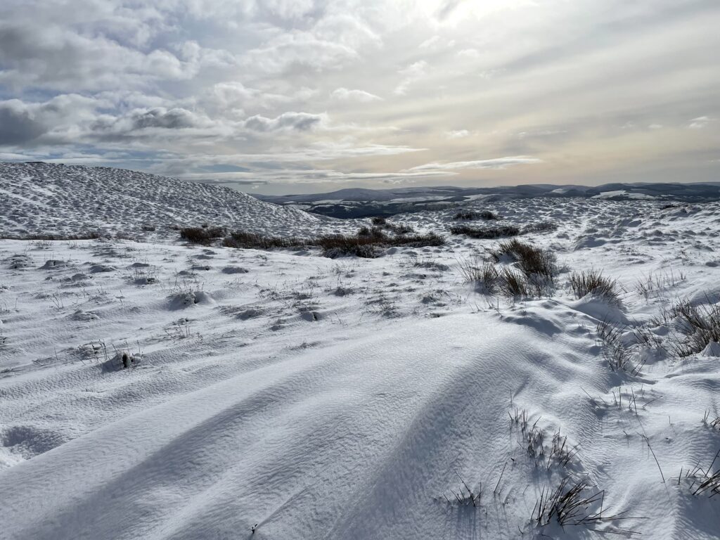
We finally arrived at the summit, after trudging through the snow. Once on the summit, we were rewarded for our efforts with magnificent views.
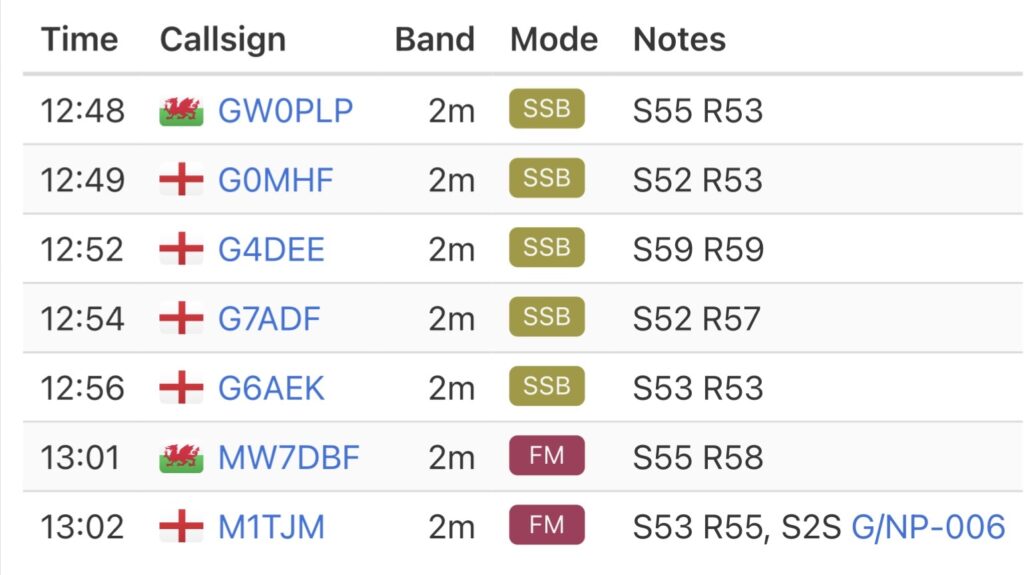
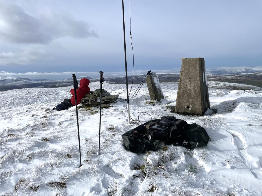
In the usual ritual, I setup my station on the DD Tarps magic carpet. I was again using the IC705 and started on 2m SSB. I managed five contacts on 2m SSB, and two contacts 2 FM, including a summit to summit with Tom, M1TJM.
It was cold and so we didn’t want to hang around for too long on the summit. After quick slurp of coffee and a cereal bar, we made our way back down.

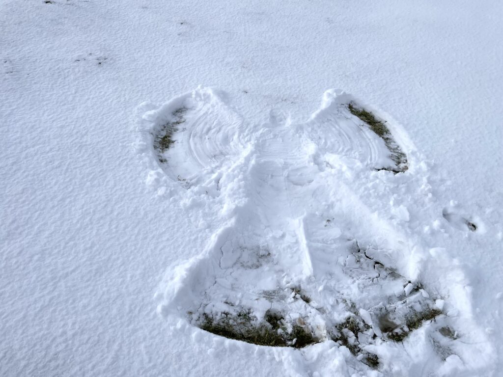
My wife couldn’t resist making a snow angel on the way down, although, as we were now close to the snow line, the snow wasn’t very deep. Another cold but rewarding activation.
The interactive map below shows a track of the route taken. You can zoom in or out to change the scale. The map can also be shown in full screen. The GPX track can also be downloaded using the link below the map.
Download file for GPSFurther information can be found on the SOTA resource page for the summit