Illgill Head, SOTA Above Wast Water Screes

Summits On The Air reference, G/LD-029, 4 points

Activity Summary

Weather

Date 21st November 2025

Distance: 7.37km

Ascent: 539m

Max Altitude: 609m

Time to summit: 1:58

Total time: 4:10

Clear

Temperature -2 ℃

Feels like -1 ℃

Humidity 88%

Wind Speed 0.7 km/h

Wind Direction WSW

Equipment Used

  • SRH770 2m antenna
  • Yaesu FT65
  • PoLo logging app on iPad mini

Parking Location What3Words

///sunflower.punters.acrobatic

Activation Report

Today,(Friday), was my last chance to activate Illgill Head, as we were heading home on Saturday morning. And so at eight o’clock in the morning, I was de icing the car, with the temperature on the dashboard reading -4 degrees Celsius . There was a moment where I pondered whether it was a good idea. But you already know the answer to that moment of pondering. The road from Santon Bridge to Wasdale Head, was an untreated road, and had some sections of sheet ice. The road conditions had started to give me an idea of what was to come. After driving along the length of Wast Water, I arrived at the National Trust, Lake Head carpark . I Felt quite smug after getting my second free parking ticket this week. Parking is free for National Trust members, after scanning your membership card to obtain a ticket. For non-members the daily charge is £10.

The view of Wast Water as I ascended

Just before 9am, I headed out of the carpark and followed the bridleway which heads up towards Burnmoor Tarn. At grid reference NY18197 06245, the track turns into a path as the bridleway breaks off to the left. Also, around this point there was some frozen water to navigate. Micro spikes would have been a sensible option at this point, but unfortunately I don’t currently have any.

The ice section after passing through the gate

After passing through the gate and beyond the icy section, I hit the snow line. At this point the ascent also became steeper. The going was good as long as I kept walking on soft snow. There was some snow that had started to thaw, but had refrozen. These sections were very slippy, and given the now steep slope, they needed to be avoided in order to avoid a premature descent.

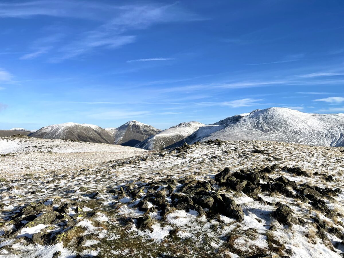
Once on the summit conditions were pleasant. With sunshine and the absence of any wind, the temperature was comfortable. That said, I was wearing three base layers, a fleece and a coat. There were fantastic views across to Kirk Fell, Great Gable, Lingmell, and Scafell with Scafell Pike summit, just visible behind Scafell. There was initially some cloud drifting over the tops but this soon cleared.

360 summit video

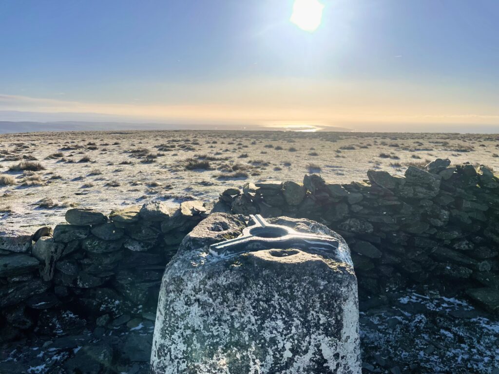
I wondered around the summit a little, trying to find a good location to setup. But I ended up returning to the true summit, to make use of some rocks. It was only on my descent that I found the shelter, on the edge above Wast Water. The shelter is still within the first contour line around the summit, and so easily within the activation zone.

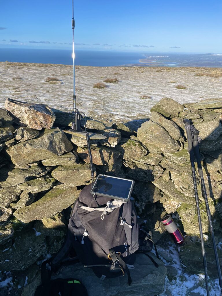
My station, looking out toward Kirk Fell and Great Gable

This was another 2m only activation, so I could get back to my wife who was waiting back at our holiday cottage. I setup the FT65 resting on my rucksack. After spotting, there was were initially nothing. After a call on 145.500, Andrew, G4VFL was in the log, followed by Dave G6AEK. Things continued to be slow until G4VFL, very kindly offered to make some phone calls, to drum up some more callers. After four minutes of silence the calls started to trickle in with some more local chasers. Don, GW0PLP again made the 272km trip. I now have an image of Don’s aerial having an aircraft warning light on top, given the distances he works on 2m. After final calls and going QRT, I took some more photos, as the cloud had now cleared. I had left the radio turned on and heard David, G6LKB calling me, and he was soon in the log, making a total of seven contacts.

Log for the day

I packed away and walked over to the edge above Wast Water, this is when I spotted the shelter, good to know for the future.

The shelter well within the activation zone.

I continued my descent enjoying the views. I had a really enjoyable week in this part of the Lakes, and managed to add 18 activator points to my total.
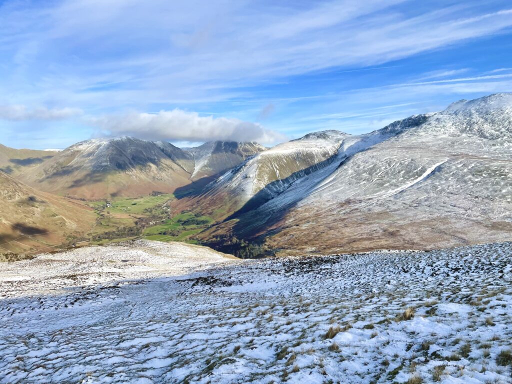
The view heading back down to Wasdale Head


The interactive map below shows a track of the route taken. You can zoom in or out to change the scale. The map can also be shown in full screen. The GPX track can also be downloaded using the link below the map.

Download file for GPS

Further information can be found on the SOTA resource page for the summit
SOTA Activation, Black Combe

Summits On The Air reference, G/LD-030, 4 points

Activity Summary

Weather

Date 20th November 2025

Distance: 7.41 km

Ascent: 572m

Max Altitude: 600m

Time to summit: 1:32

Total time: 3:11

Clear

Temperature 1 ℃

Humidity 76%

Feels like -6 ℃

Wind Speed 18.4 km/h

Wind Direction NNW

Equipment Used

  • SRH770 2m antenna
  • Yaesu FT65
  • PoLo logging app on iPad mini

Parking Location What3Words

///artichoke.shocks.huddled


The entrance to the carpark can be easily missed, the What3Words for the entrance is below.

///sues.episodes.floating

Activation Report

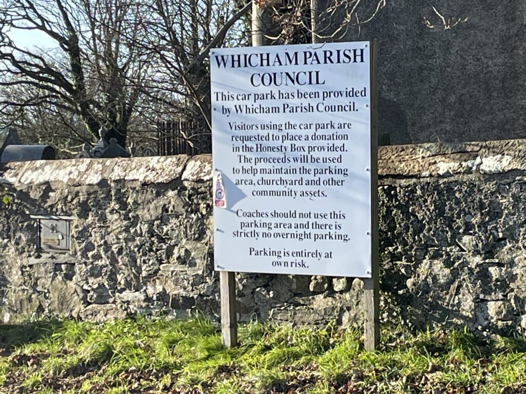
Today I was heading up Black Combe, G/LD-030. The starting point was the church carpark at Whicham, the location is SD1353 8264. There is an honesty box on the wall to pay the parking fee.

At 9am, I was heading down the short path, that takes you out of the carpark. The path joins up with a lane that heads up towards the summit. The lane soon turns into a track, soon after you turn right, at the signpost pointing you to Black Combe. It’s also worth noting that the path is actually a bridleway, and so could be ridden on a mountain bike.

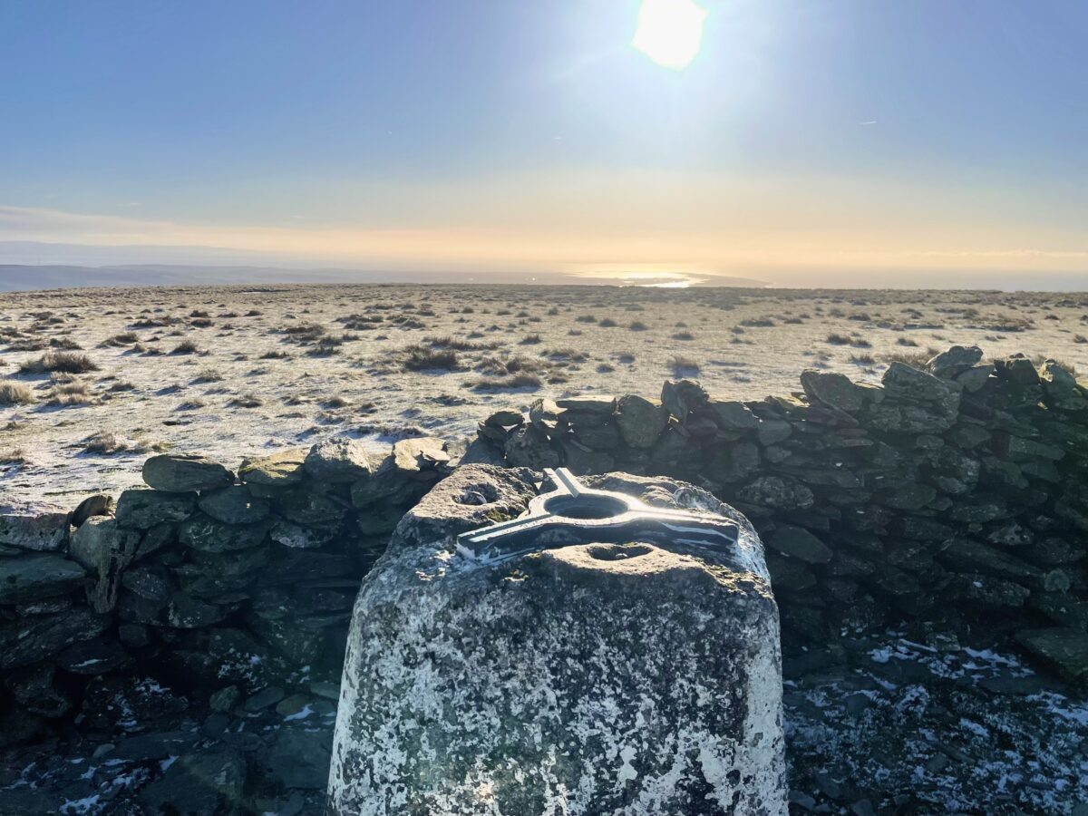
I continued up the well trodden path, it was very easy to follow. After an hour and a half I was on the summit. The views were amazing with the snow capped mountains in the distance, you could also see the Isle of Man.

360 video on the summit

It was extremely cold on the summit and being crouched down behind the shelter wall didn’t help much. A quick activation was going to be the order of the day. I quickly setup for 2m with the FT65.

My station, looking out toward Seascale

After spotting, things were very quite, until M0KOV and M0KZZ called in from SOTA summit, G/NP-29. This was then followed by a slow trickle of 4 more callers. With the summit qualified, and no more callers, I spotted QRT and started packing away. I was only wearing one glove, and the hand with no glove, was now very cold. I set my radio to scan, as I dug a hand warmer out of my rucksack. Leaving the radio scanning paid off, as I heard Dave, G6AEK calling me and that was the seventh contact in the log. I had quick check for any possible summit to summits. Tom, E1EYP had spotted, but I couldn’t hear him.

Log for the day

Activation completed, I decided it was too cold have my coffee on the summit and so made my way back down to the car.

Looking South out to the Irish Sea


The interactive map below shows a track of the route taken. You can zoom in or out to change the scale. The map can also be shown in full screen. The GPX track can also be downloaded using the link below the map.

Download file for GPS

Further information can be found on the SOTA resource page for the summit
Scafell Pike, SOTA from the top of England

Summits On The Air reference, G/LD-001, 10 points

Activity Summary

Weather

Date 16th November 2025

Distance: 8.24 km

Ascent: 894m

Max Altitude: 978m

Time to summit: 2:46

Total time: 5:55

Clear

Temperature 3 ℃

Humidity 89%

Feels like 2 ℃

Wind Speed 6.5 km/h

Wind Direction ENE

Equipment Used

  • SRH770 2m antenna
  • Yaesu FT65
  • PoLo logging app on iPad mini

Parking Location What3Words

///sunflower.punters.acrobatic

Activation Report

The Lake District used to be my regular playground, since my teenage years, until about 15 years ago when life got in the way. It had been 17 years since I last climbed Scafell Pike, and it was time to put that right.

On Sunday morning, I left our holiday cottage at first light, and arrived at the National Trust Lakeside carpark at 7:45 am. The carpark location is at NY1822 0749. Parking is free for National Trust members if you scan your membership card to obtain your ticket.

It was just after 8am when I set off, from a surprisingly busy carpark. I set into a steady pace as I started the long ascent. It always amuses me on walks like this, with a steepish ascent, to see some people race past, only to catch them up, because they have stopped for rest.

Crossing the stream that runs across the path. Wast Water in the distance.

After crossing the stream, the path steepens, and I began climbing some steps. After some more steady plodding, I eventually arrived at Hollow Stones, here the terrain opens up and gradient becomes less steep. Soon after climbing over the top of Pikes Cragg, I started to notice black ice on the rocks and even a bit of frozen snow in places. Some care was needed on the final approach to the summit, as it was slippy in places.

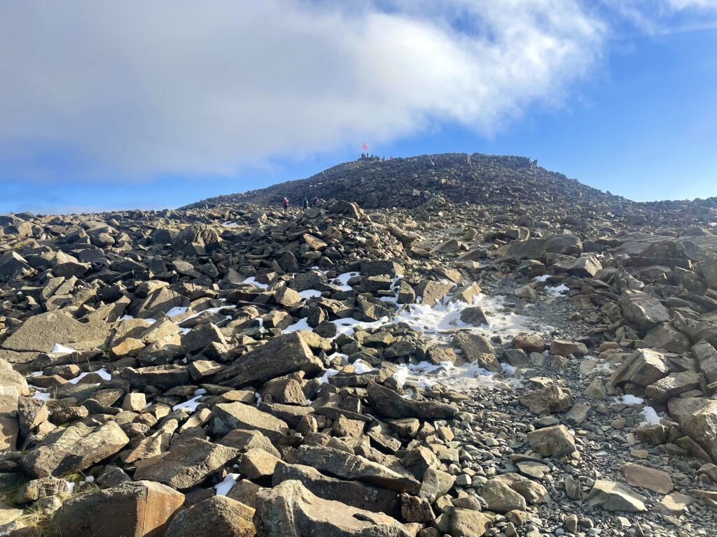
The final approach looking upto the summit

For those who may not know, Scafell Pike was given to the National Trust to serve as a lasting memorial for all those who lost their lives during the First World War. So it felt particularly poignant to see the ‘Lest We Forget’ and the Union Jack flags, flying as I approached the summit. I was soon climbing up to the summit cairn to take in the view. It was difficult to take a 360 video, due to other people on the large round cairn. I managed to dance around people to get the best video I could under the circumstances.

360 video of the summit

I found myself a suitable rock to use as a shack desk, not far from the summit cairn. Although, I had only alerted for 2m, I did have my QMX with me. However, given how busy the summit was and the cold temperatures, I decided to stay with a 2m only activation.

Looking South

I was using the SRH770 antenna on the FT65 radio, with an external hand microphone. I put a spot out, and first in the log was Mark, G7SXr in West Yorkshire. Followed by Mark, G5TEA, in Windermere, giving his new callsign an airing. Longest distance was Frank, GW1OFA in Pembrokeshire, at 289km. Don, GW0GLP in Ceredigion was a similar distance at 274km, but he sounded like he was 30km away. I managed three summit to summits, including Jake, M0PVC on Illgill Head, G/LD-029. This was perfect as I plan to activate Illgill later in the week, and so will be another complete.

Log for the day

I had a really enjoyable activation with the 10 points bringing my total activator points to 518, with 301 of those points achieved this year. It maybe strange, but it always feel like I have come home, when I am on a Lake District summit, so I will be back.

Looking towards Wast Water

As I started to make my way down, I had a Mr Bean moment. I was just warning two lads about the ice and slippy rocks, as I said the slippy, my legs went into a Scooby Doo running on the spot motion. I could see the look of horror on one of the lads faces. Somehow, I managed to anchor myself with my walking poles, and disaster was averted.

I continued my descent, although it felt a bit of a slog. I am sure it took me nearly as long to get down to the car as it did climbing up. I was back at the car for 2pm, heading back to our cottage, where a much needed bowl of stew was waiting for me.


The interactive map below shows a track of the route taken. You can zoom in or out to change the scale. The map can also be shown in full screen. The GPX track can also be downloaded using the link below the map.

Download file for GPS

Further information can be found on the SOTA resource page for the summit

Pumlumon Fawr SOTA Activation

Summits On The Air reference GW/MW-001, 6 points

Activity Summary

Weather

Date 10th November 2025

Distance: 9.45 km

Ascent: 365m

Max Altitude: 752m

Moving time: 2:33

Total time: 3:54

Rain

Temperature 9 ℃

Humidity 92%

Feels like 6 ℃

Wind Speed 11.9 km/h

Wind Direction SSW

Equipment Used

  • 4000 mAh LiFePO4 battery
  • Xiegu 6100
  • SRH770 2m antenna
  • Yaesu FT65
  • 20m 1/4 wave telescopic antenna
  • PoLo logging app on iPad mini

Parking Location What3Words

///remix.daydreams.unite

Activation Report

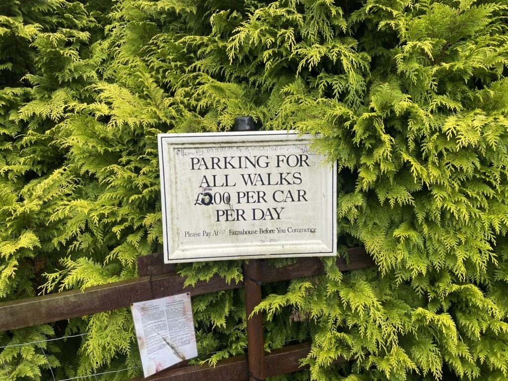
I had chosen to approach Pumlumon Fawr, GW/MW-001, from the South. The starting point was a carpark at Eisteddfa Gurig, just off the A44, (grid reference SN7980 8407). The carpark costs £5 for the day, the fee is paid at the farmhouse.

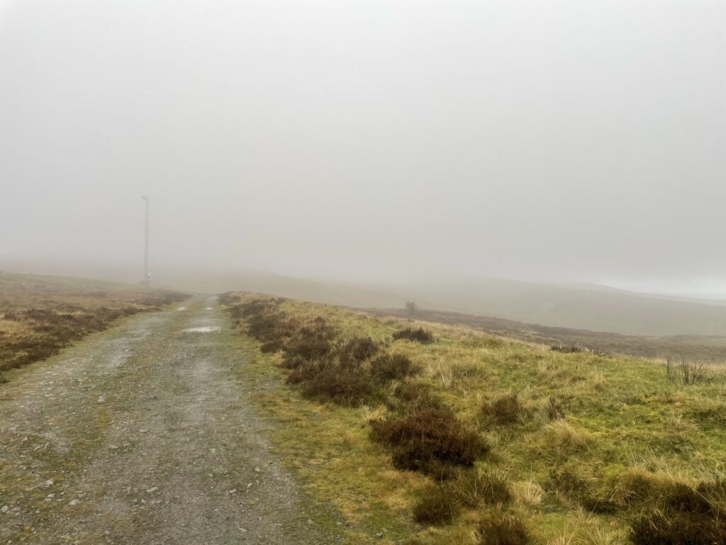
It was 9:30 am, as I set off from the carpark. The morning air felt cool and there was some light rain. Leaving the carpark, I zigzagged through the farmyard and then climbed up the track heading away from the farm. As I continued to ascend, I was soon walking in the mist and the rain became that fine rain, apparently that’s the worst kind 😀.

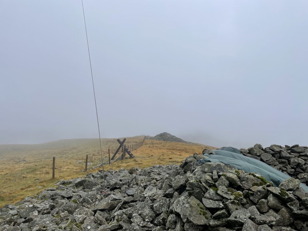
After walking for about an hour and a half, the summit started to appear out of the mist. On the approach, I thought I could see someone crossing the stile ahead of me. A few moments later I crossed the stile to arrive at the summit. As I walked past the shelter, I looked over the wall expecting to see a fellow walker, to my surprise nobody was there, I assumed that they must have carried on walking. I climbed up to the trig pillar and even though there wasn’t much of a view, I still took the usual 360 video.

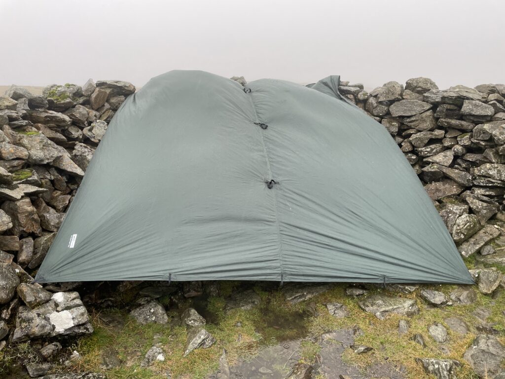
Next job was to setup my shelter, so I could get out of the rain and get on the air.

First up was 2m, I was using the SRH770 antenna on the FT65 radio, with an external hand microphone. I could poke the aerial out of the shelter, with the radio wedged in the rocks. After quick spot, almost instantly, Don, GW0PLP was in the log. After another ten minutes I had three more contacts in the log making four contacts on 2m. It was then time to brave the rain, and setup the 20m quarter wave telescopic whip for HF. To my surprise when I got out of the shelter, the rain had almost stopped and the views had opened up. I grabbed another quick video while I had the chance.

Now here is the weird thing! Whilst setting up the antenna, I could have swore that I saw someone, again, in the corner of my eye. I looked up but nobody was there. This definitely felt a bit eery, I rationalised it to the fact that I kept thinking the trig pillar was a person when the mist was drifting across it.

Back in the shelter I was soon on the air with 20m, the band was very active, and after a spot, I had a pileup to work. Stations were really booming in, with many callers being 59. I managed to log another twenty two contacts. The total QSO count was now twenty six, with four 2m contacts, twenty two, 20m contacts, and two summit to summit contacts. I was happy with another successful activation.


At this point I was now beginning to feel a bit cold, and I was glad that I had a fleece in my pack to put on before packing away. Fortunately the rain had now stopped and so I packed away, then took one last look at the view before heading down. After jogging for a while I had soon warmed up again. Continuing to walk down, I pondered on the figure I thought I had seen on the summit. Surely it must have just been the trig pillar? It didn’t seem to take long to get back to the car and I very was happy that I had completed another activation and accumulated another six points.


The interactive map below shows a track of the route taken. You can zoom in or out to change the scale. The map can also be shown in full screen. The GPX track can also be downloaded using the link below the map.

Download file for GPS

Further information can be found on the SOTA resource page for the summit
Yr Aran SOTA Activation

Summits On The Air reference GW/NW-019, 6 points

Activity Summary

Weather

Date 7th November 2025

Distance: 9.21 km

Ascent: 700m

Max Altitude: 747m

Moving time: 2:50

Total time: 5:15

Cloudy

Temperature 11 ℃

Humidity 89%

Feels like 8 ℃

Wind Speed 15.5 km/h

Wind Direction SE

Equipment Used

  • 4000 mAh LiFePO4 battery
  • Xiegu 6100
  • SRH770 2m antenna
  • Yaesu FT65
  • 20m 1/4 wave telescopic antenna
  • PoLo logging app on iPad mini

Parking Location What3Words

///lightly.gentle.airbase

Activation Report

For the walk up Yr Arran, I began on the Watkin Path. I parked at the National Park car park (grid reference SH6281 5070), which is conveniently situated just across the road from the start of the path and has toilets. Parking costs £3 for four hours or £6 for the day, although I was lucky, the machine was out of order, and the man fixing it told me not to bother paying.

I set off just after 9 a.m. on a clear, dry morning. After crossing the road, I went through the gate and started the gentle climb along the path. Before long, I was out in open countryside, taking in views of a cloud-capped Yr Wyddfa (Snowdon). I usually have a rough picture of the route in my head, but I suddenly realised the terrain didn’t look quite right. A quick check of the GPS map confirmed I’d missed my left turn where the route leaves the Watkin Path. Fortunately, it only took five minutes of backtracking to get back on right path.

From there, the ascent became steeper. After passing through a small disused quarry, the path steeply rises to meet a ridge at around the 528-metre contour. Following the ridge gives a brief respite before the final push to the summit.

After about two and a quarter hours, I reached the summit. The conditions were better than expected, it was dry, with reasonable views, although rather windy. After taking in the scenery, it was time to get down to business.

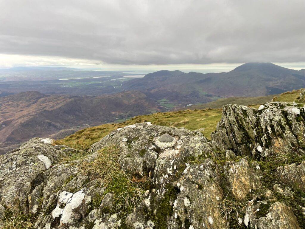
Yr Aran summit, no trig just the brass marker in the centre of the picture

I set up my station tucked in behind the summit rocks. Initially, I tried operating sat on the summit for 2 metres, hoping for the best take-off. That didn’t really work, after my first contact with Don, GW0PLP, he mentioned the wind noise was quite bad. Things were far more civilised once I moved down and sheltered behind the rocks.

I managed three contacts on 2 metres before switching to 20 metres. Earlier that morning, the space weather app had been pinging warnings about radio blackouts, so I wasn’t sure how good propagation would be. That concern prompted a last-minute decision to swap out my QMX for the X6100, giving me a bit more power and a wider choice of bands if needed.

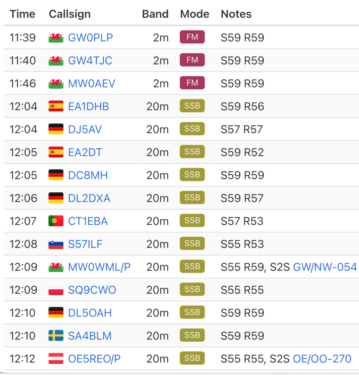
I was soon on air with 20m SSB, while my quarter-wave telescopic whip was bending in the wind with an alarming radius. To my surprise, 20 metres was in good shape, I logged 16 contacts, including a summit-to-summit with Gerald, GW0WML, on GW/NW-054. After finishing up on 20m, I experimented on 40 metres using the telescopic whip without a loading coil. The X6100’s auto tuner pondered for several seconds before managing a match of about 2.5:1 SWR. Clearly not ideal, but I managed three more contacts before the callers dried up. Just as I was finishing, I could see rain coming toward me. I packed up just in time as a blast of fine, icy rain arrived.

In total, I logged 22 QSOs: three on 2 metres, sixteen on 20 metres, and three on 40 metres, including two summit-to-summit contacts on 20 metres. I was pleased with that, as it also marked a milestone for me. The six points from this activation brought my overall total to 502 points—halfway to Mountain Goat!

Log for the day

With the activation successfully completed, I began my descent. Once I dropped off the ridge, I was out of the wind, and the weather had turned fair, making for a very pleasant walk back to the car.


The interactive map below shows a track of the route taken. You can zoom in or out to change the scale. The map can also be shown in full screen. The GPX track can also be downloaded using the link below the map.

Download file for GPS

Further information can be found on the SOTA resource page for the summit