
Activity Summary | Weather |
Date 21st November 2025 Distance: 7.37km Ascent: 539m Max Altitude: 609m Time to summit: 1:58 Total time: 4:10 | Clear Temperature -2 ℃ Feels like -1 ℃ Humidity 88% Wind Speed 0.7 km/h Wind Direction WSW |
Equipment Used
- SRH770 2m antenna
- Yaesu FT65
- PoLo logging app on iPad mini
Parking Location What3Words
///sunflower.punters.acrobaticActivation Report
Today,(Friday), was my last chance to activate Illgill Head, as we were heading home on Saturday morning. And so at eight o’clock in the morning, I was de icing the car, with the temperature on the dashboard reading -4 degrees Celsius . There was a moment where I pondered whether it was a good idea. But you already know the answer to that moment of pondering. The road from Santon Bridge to Wasdale Head, was an untreated road, and had some sections of sheet ice. The road conditions had started to give me an idea of what was to come. After driving along the length of Wast Water, I arrived at the National Trust, Lake Head carpark . I Felt quite smug after getting my second free parking ticket this week. Parking is free for National Trust members, after scanning your membership card to obtain a ticket. For non-members the daily charge is £10.

Just before 9am, I headed out of the carpark and followed the bridleway which heads up towards Burnmoor Tarn. At grid reference NY18197 06245, the track turns into a path as the bridleway breaks off to the left. Also, around this point there was some frozen water to navigate. Micro spikes would have been a sensible option at this point, but unfortunately I don’t currently have any.

After passing through the gate and beyond the icy section, I hit the snow line. At this point the ascent also became steeper. The going was good as long as I kept walking on soft snow. There was some snow that had started to thaw, but had refrozen. These sections were very slippy, and given the now steep slope, they needed to be avoided in order to avoid a premature descent.
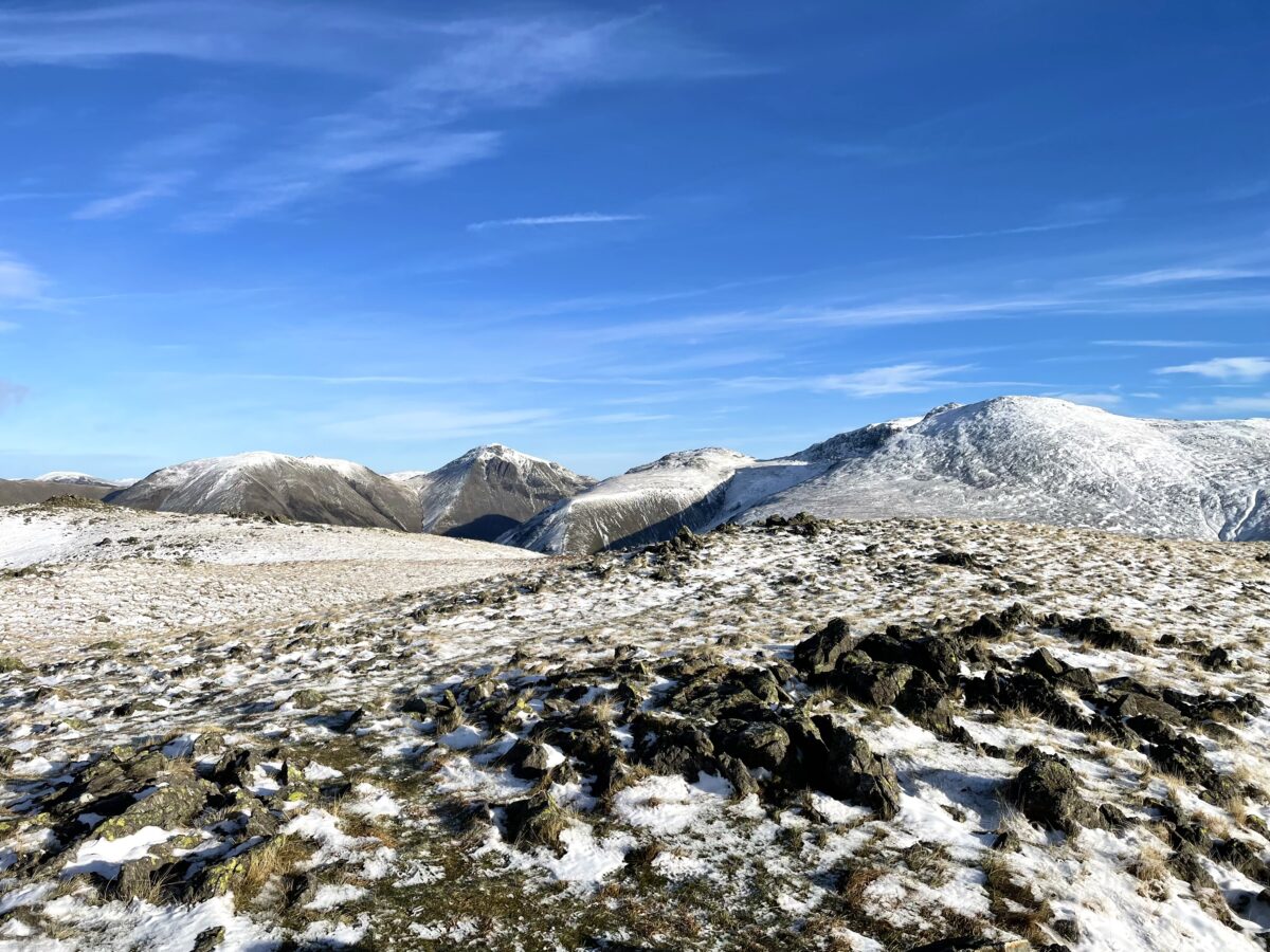
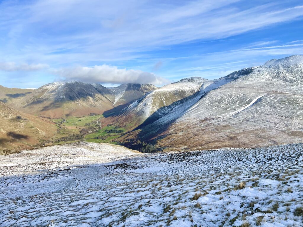
Once on the summit conditions were pleasant. With sunshine and the absence of any wind, the temperature was comfortable. That said, I was wearing three base layers, a fleece and a coat. There were fantastic views across to Kirk Fell, Great Gable, Lingmell, and Scafell with Scafell Pike summit, just visible behind Scafell. There was initially some cloud drifting over the tops but this soon cleared.
I wondered around the summit a little, trying to find a good location to setup. But I ended up returning to the true summit, to make use of some rocks. It was only on my descent that I found the shelter, on the edge above Wast Water. The shelter is still within the first contour line around the summit, and so easily within the activation zone.

This was another 2m only activation, so I could get back to my wife who was waiting back at our holiday cottage. I setup the FT65 resting on my rucksack. After spotting, there was were initially nothing. After a call on 145.500, Andrew, G4VFL was in the log, followed by Dave G6AEK. Things continued to be slow until G4VFL, very kindly offered to make some phone calls, to drum up some more callers. After four minutes of silence the calls started to trickle in with some more local chasers. Don, GW0PLP again made the 272km trip. I now have an image of Don’s aerial having an aircraft warning light on top, given the distances he works on 2m. After final calls and going QRT, I took some more photos, as the cloud had now cleared. I had left the radio turned on and heard David, G6LKB calling me, and he was soon in the log, making a total of seven contacts.

I packed away and walked over to the edge above Wast Water, this is when I spotted the shelter, good to know for the future.

I continued my descent enjoying the views. I had a really enjoyable week in this part of the Lakes, and managed to add 18 activator points to my total.
The interactive map below shows a track of the route taken. You can zoom in or out to change the scale. The map can also be shown in full screen. The GPX track can also be downloaded using the link below the map.
Further information can be found on the SOTA resource page for the summit