
Activity Summary
- 📅 Date : 29th September 2026
- 📏 Distance : 2.85 km
- ⬆️ Ascent : 186 m
- 🏔️ Max Altitude : 405 m
- ⏱️ Time to Summit : 0:34 hrs
- 🕐 Total Activation Time : 1:55 hrs
Weather
- ☁️ Cloudy
- 🌡️ Temperature 12 ℃
- 🌡️ Feels like 9 ℃
- 💧 Humidity 96%
- 💨 Wind Speed 24 km/h
- 🧭 Wind Direction ESE
Equipment Used
- Icom IC705 (10w)
- 2,500mAh LiFePO4 battery pack
- 2m, flowerpot
- SOTABEAMS Carbon 6 pole
- PoLo logging app on iPad mini
Parking Location What3Words
///images.hikes.shuttleActivation Report
I managed to find some time to get out on a SOTA activation. However, the weather on my local summits, above 600m, wasn’t looking great. So I opted for the lower summit of Foel Offrwm standing at 405m.
I arrived at the carpark, located at SH 74556 21179, at around 10:15 in the morning. The carpark is free and also has toilets.
It was 10:25, as I crossed over the road to join the track, and then followed the signs to Foel Offrwm. The path was straightforward, and it took me around half an hour to reach the summit. The summit was capped in cloud so I didn’t bother taking a video.
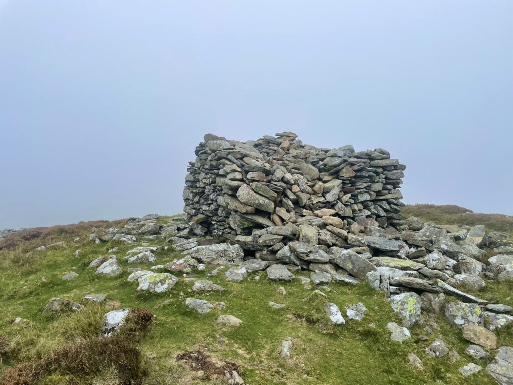
On the southwest side of the folly there was a perfect spot to set up my station. There were some stones that made a nice small stone seat, and luckily it was also on the leeward side of the folly.
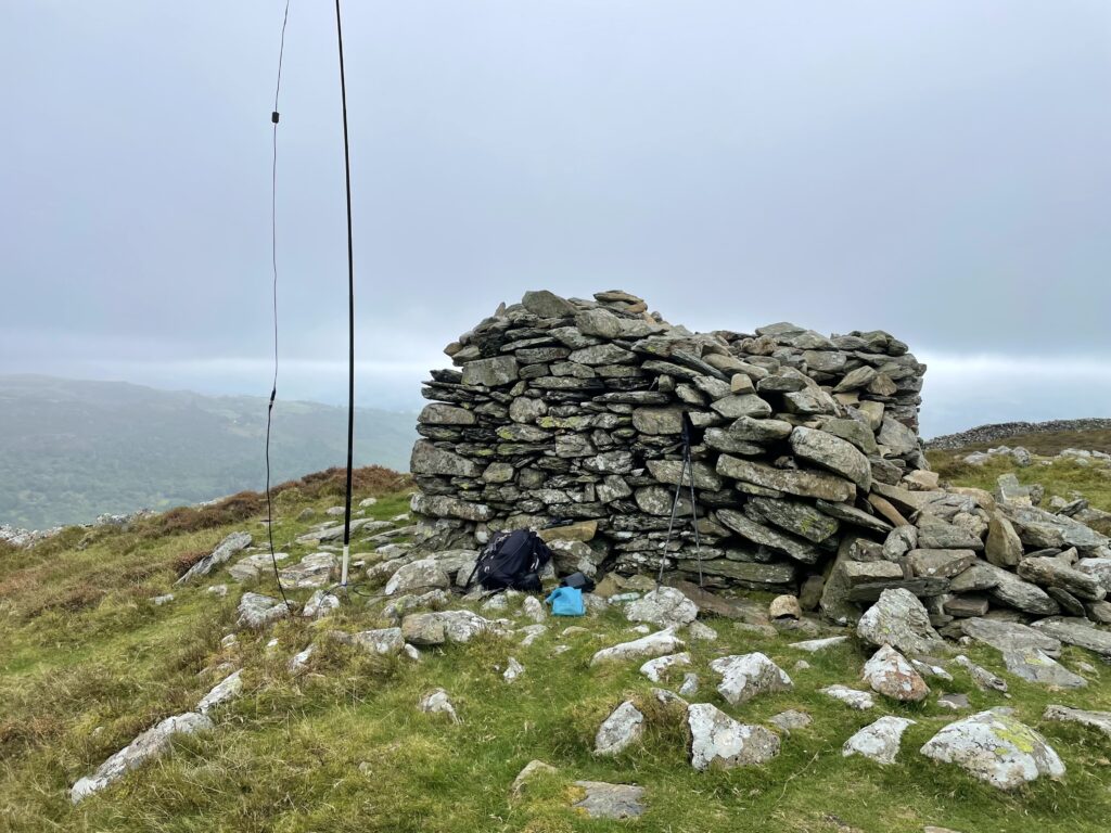
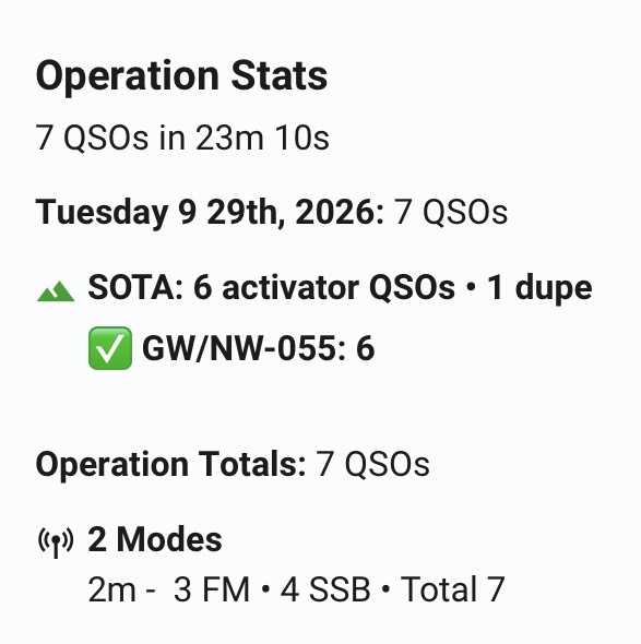
I started on 2m SSB with Don, Gw0PLP first in the log. After some swapping between 2m SSB and FM, I managed seven contacts including one dupe. I was happy with that for Tuesday morning on 2m, especially as this isn’t a great summit for VHF.
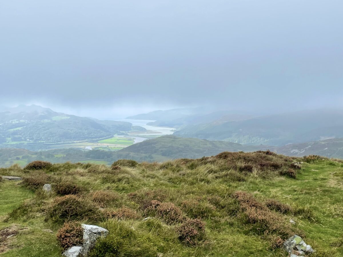
By the time I had started packing away the cloud was lifting and the Mawddach Estuary came into view. At least I had some views before descending back to the car.

I descended back to the carpark, that to my surprise, was full. It was empty when I started out a couple of hours earlier. This was a nice, reasonably quick one point activation, I will probably be doing more one pointers for the remainder of this year.
The interactive map below shows a track of the route taken. You can zoom in or out to change the scale. The route may contain errors and should be used only as a guide.
Further information can be found on the SOTA resource page for the summit