

Activity Summary | Weather |
Date 10th November 2025 Distance: 9.45 km Ascent: 365m Max Altitude: 752m Moving time: 2:33 Total time: 3:54 | Rain Temperature 9 ℃ Humidity 92% Feels like 6 ℃ Wind Speed 11.9 km/h Wind Direction SSW |
Equipment Used
- 4000 mAh LiFePO4 battery
- Xiegu 6100
- SRH770 2m antenna
- Yaesu FT65
- 20m 1/4 wave telescopic antenna
- PoLo logging app on iPad mini
Parking Location What3Words
///remix.daydreams.uniteActivation Report
I had chosen to approach Pumlumon Fawr, GW/MW-001, from the South. The starting point was a carpark at Eisteddfa Gurig, just off the A44, (grid reference SN7980 8407). The carpark costs £5 for the day, the fee is paid at the farmhouse.
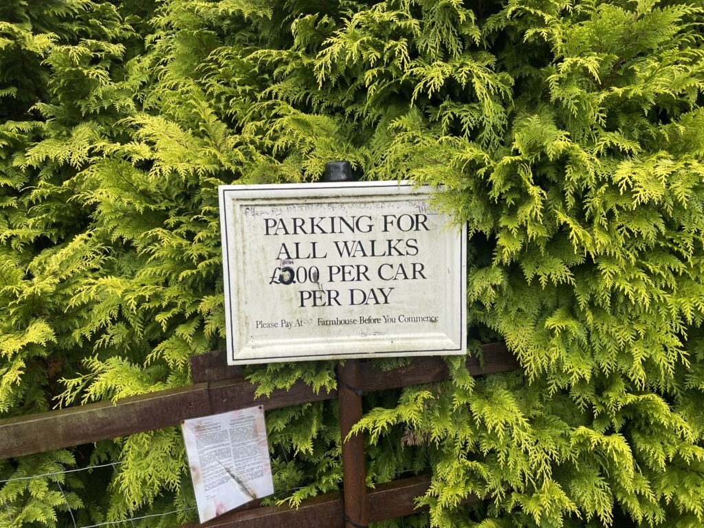
It was 9:30 am, as I set off from the carpark. The morning air felt cool and there was some light rain. Leaving the carpark, I zigzagged through the farmyard and then climbed up the track heading away from the farm. As I continued to ascend, I was soon walking in the mist and the rain became that fine rain, apparently that’s the worst kind 😀.
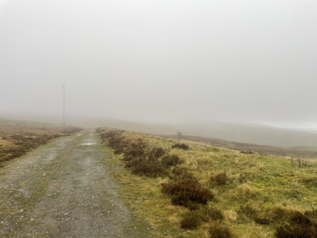
After walking for about an hour and a half, the summit started to appear out of the mist. On the approach, I thought I could see someone crossing the stile ahead of me. A few moments later I crossed the stile to arrive at the summit. As I walked past the shelter, I looked over the wall expecting to see a fellow walker, to my surprise nobody was there, I assumed that they must have carried on walking. I climbed up to the trig pillar and even though there wasn’t much of a view, I still took the usual 360 video.
Next job was to setup my shelter, so I could get out of the rain and get on the air.
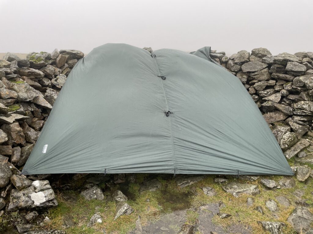

First up was 2m, I was using the SRH770 antenna on the FT65 radio, with an external hand microphone. I could poke the aerial out of the shelter, with the radio wedged in the rocks. After quick spot, almost instantly, Don, GW0PLP was in the log. After another ten minutes I had three more contacts in the log making four contacts on 2m. It was then time to brave the rain, and setup the 20m quarter wave telescopic whip for HF. To my surprise when I got out of the shelter, the rain had almost stopped and the views had opened up. I grabbed another quick video while I had the chance.
Now here is the weird thing! Whilst setting up the antenna, I could have swore that I saw someone, again, in the corner of my eye. I looked up but nobody was there. This definitely felt a bit eery, I rationalised it to the fact that I kept thinking the trig pillar was a person when the mist was drifting across it.
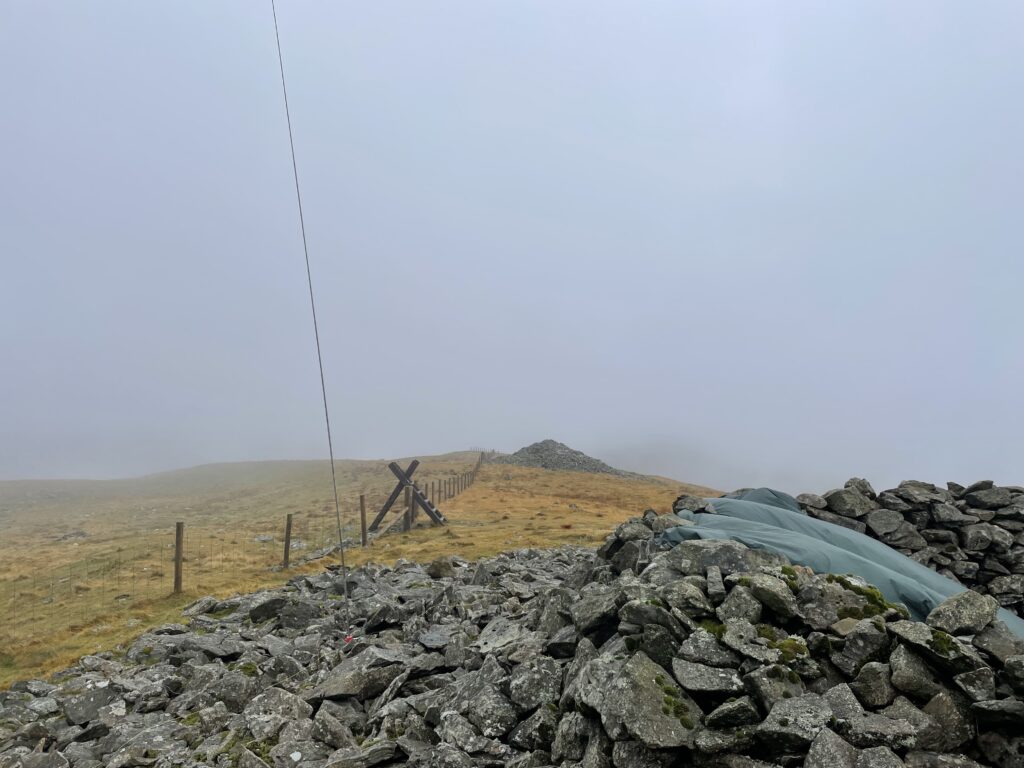
Back in the shelter I was soon on the air with 20m, the band was very active, and after a spot, I had a pileup to work. Stations were really booming in, with many callers being 59. I managed to log another twenty two contacts. The total QSO count was now twenty six, with four 2m contacts, twenty two, 20m contacts, and two summit to summit contacts. I was happy with another successful activation.


At this point I was now beginning to feel a bit cold, and I was glad that I had a fleece in my pack to put on before packing away. Fortunately the rain had now stopped and so I packed away, then took one last look at the view before heading down. After jogging for a while I had soon warmed up again. Continuing to walk down, I pondered on the figure I thought I had seen on the summit. Surely it must have just been the trig pillar? It didn’t seem to take long to get back to the car and I very was happy that I had completed another activation and accumulated another six points.

The interactive map below shows a track of the route taken. You can zoom in or out to change the scale. The map can also be shown in full screen. The GPX track can also be downloaded using the link below the map.
Further information can be found on the SOTA resource page for the summit