

Activity Summary | Weather |
Date 7th November 2025 Distance: 9.21 km Ascent: 700m Max Altitude: 747m Moving time: 2:50 Total time: 5:15 | Cloudy Temperature 11 ℃ Humidity 89% Feels like 8 ℃ Wind Speed 15.5 km/h Wind Direction SE |
Equipment Used
- 4000 mAh LiFePO4 battery
- Xiegu 6100
- SRH770 2m antenna
- Yaesu FT65
- 20m 1/4 wave telescopic antenna
- PoLo logging app on iPad mini
Parking Location What3Words
///lightly.gentle.airbaseActivation Report
For the walk up Yr Arran, I began on the Watkin Path. I parked at the National Park car park (grid reference SH6281 5070), which is conveniently situated just across the road from the start of the path and has toilets. Parking costs £3 for four hours or £6 for the day, although I was lucky, the machine was out of order, and the man fixing it told me not to bother paying.
I set off just after 9 a.m. on a clear, dry morning. After crossing the road, I went through the gate and started the gentle climb along the path. Before long, I was out in open countryside, taking in views of a cloud-capped Yr Wyddfa (Snowdon). I usually have a rough picture of the route in my head, but I suddenly realised the terrain didn’t look quite right. A quick check of the GPS map confirmed I’d missed my left turn where the route leaves the Watkin Path. Fortunately, it only took five minutes of backtracking to get back on right path.
From there, the ascent became steeper. After passing through a small disused quarry, the path steeply rises to meet a ridge at around the 528-metre contour. Following the ridge gives a brief respite before the final push to the summit.
After about two and a quarter hours, I reached the summit. The conditions were better than expected, it was dry, with reasonable views, although rather windy. After taking in the scenery, it was time to get down to business.
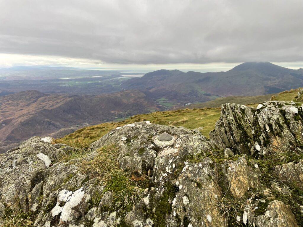
I set up my station tucked in behind the summit rocks. Initially, I tried operating sat on the summit for 2 metres, hoping for the best take-off. That didn’t really work, after my first contact with Don, GW0PLP, he mentioned the wind noise was quite bad. Things were far more civilised once I moved down and sheltered behind the rocks.
I managed three contacts on 2 metres before switching to 20 metres. Earlier that morning, the space weather app had been pinging warnings about radio blackouts, so I wasn’t sure how good propagation would be. That concern prompted a last-minute decision to swap out my QMX for the X6100, giving me a bit more power and a wider choice of bands if needed.
I was soon on air with 20m SSB, while my quarter-wave telescopic whip was bending in the wind with an alarming radius. To my surprise, 20 metres was in good shape, I logged 16 contacts, including a summit-to-summit with Gerald, GW0WML, on GW/NW-054. After finishing up on 20m, I experimented on 40 metres using the telescopic whip without a loading coil. The X6100’s auto tuner pondered for several seconds before managing a match of about 2.5:1 SWR. Clearly not ideal, but I managed three more contacts before the callers dried up. Just as I was finishing, I could see rain coming toward me. I packed up just in time as a blast of fine, icy rain arrived.

In total, I logged 22 QSOs: three on 2 metres, sixteen on 20 metres, and three on 40 metres, including two summit-to-summit contacts on 20 metres. I was pleased with that, as it also marked a milestone for me. The six points from this activation brought my overall total to 502 points—halfway to Mountain Goat!
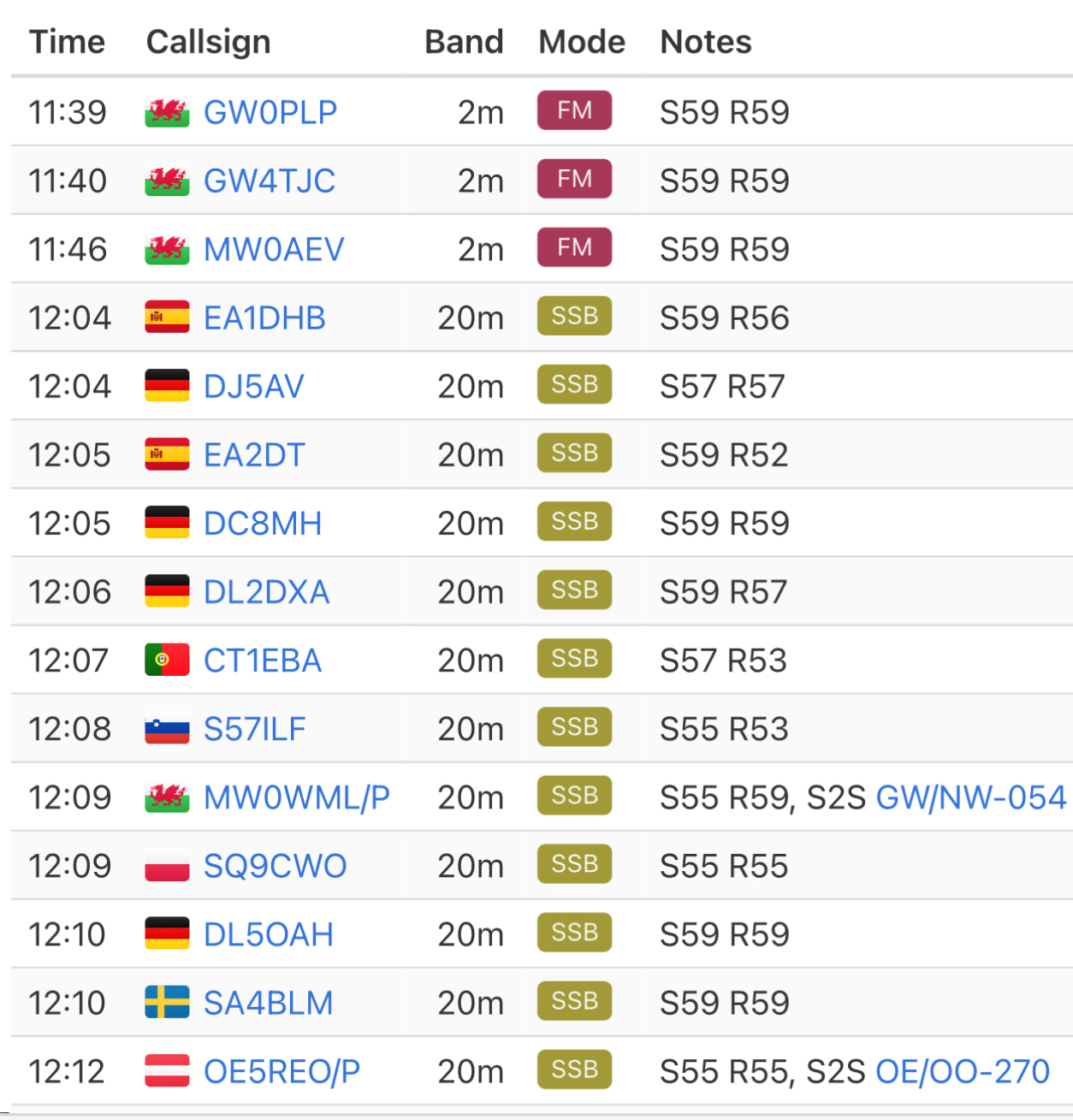
With the activation successfully completed, I began my descent. Once I dropped off the ridge, I was out of the wind, and the weather had turned fair, making for a very pleasant walk back to the car.

The interactive map below shows a track of the route taken. You can zoom in or out to change the scale. The map can also be shown in full screen. The GPX track can also be downloaded using the link below the map.
Further information can be found on the SOTA resource page for the summit