
Activity Summary | Weather |
Date 15th October 2025 Distance: 4.7 km Ascent: 347m Max Altitude: 698m Moving time: 1:31 Total time: 3:32 | Cloudy Temperature 8 ℃ Humidity 90% Feels like 9 ℃ Wind Speed 2.9 km/h Wind Direction ESE |
Equipment Used
- 4000 mAh LiFePO4 battery
- Icom IC705
- SRH770 2m antenna
- 20m 1/4 wave telescopic antenna
- PoLo logging app on iPad mini
Parking Location What3Words
///perfected.rear.traditionActivation Report
This walk starts from a lay-by just off the A470, at SH6989 4850. I started walking just after 9:30 in misty conditions. The path until you reach the tunnel air shaft was straightforward, however things then became a little trickier with no real path to follow.

Climbing up from the air shaft, the visibility soon reduced to about 10 or 15 metres, and I was now navigating entirely by GPS. Once I reached the reservoir, there was at least a path to follow—though I lost it a couple of times due to the poor visibility.
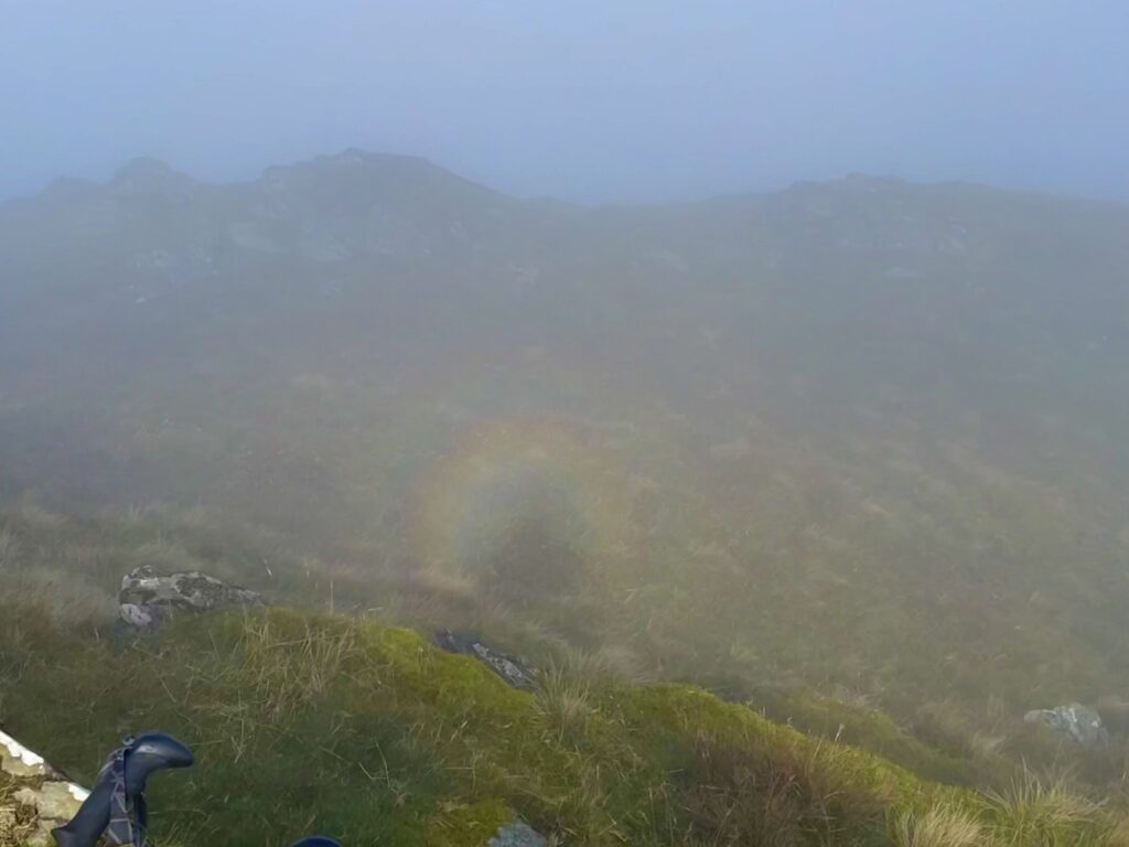
As I neared the summit, the sun grew brighter and brighter. I started to get excited, thinking I might break through the cloud and look down on an inversion. Alas, I didn’t gain enough altitude to break through, but the bright sun delivered an unexpected phenomenon. As I looked down at my shadow, I saw a Brocken Spectre—a circular rainbow surrounding the shadow of my head. It was my first time seeing one, and it made my day.
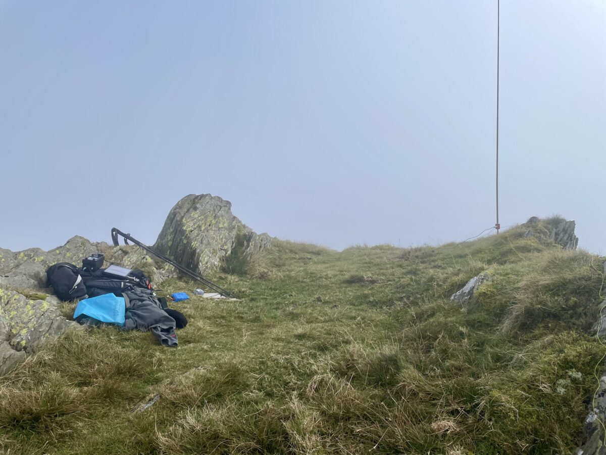
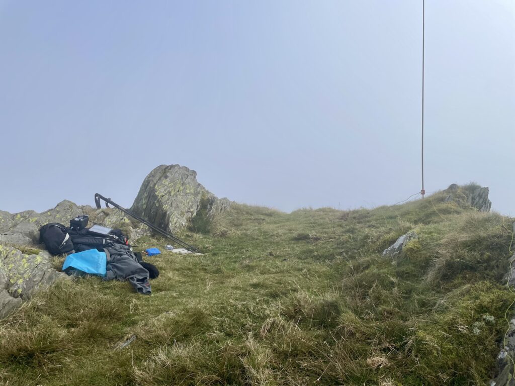
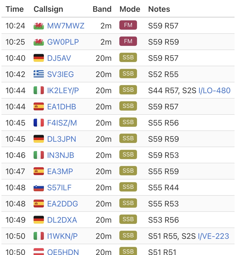
After all of the excitement, I setup my station on what seemed like a narrow ridge. To be honest, I couldn’t really see much. I was using the IC705, and for 2m and I just used the SRH770 connected directly to the BNC on the transceiver. Although there was some activity on 2m, I only managed 2 chaser contacts and that band. I then setup the 20m 1/4 wave antenna and started working on 20m. After self spotting, I had a bit of pileup and managed to log another 15 contacts. Total QSO count was 17 including 2 summit to summits (S2S).
With the SOTA business complete, I began my descent and soon started to see the path again. Once I dropped to around 570 metres, I emerged from the cloud and visibility improved dramatically. At last, I could enjoy some views on the way back to the car. Another enjoyable activation completed.


The interactive map below shows a track of the route taken. You can zoom in or out to change the scale. The map can also be shown in full screen. The GPX track can also be downloaded using the link below the map.
Further information can be found on the SOTA resource page for the summit