
Activity Summary | Weather |
Date 9th October 2025 Distance: 6.5 km Ascent: 264m Max Altitude: 677m Moving time: 1:44 Total time: 3:18 | Cloudy Temperature 12 ℃ Humidity 84% Feels like 11 ℃ Wind Speed 10.1 km/h Wind Direction W |
Equipment Used
- 4000 mAh LiFePO4 battery
- Icom IC705
- Flower pot 2m antenna
- SOTABEAMS Carbon 6 pole
- PoLo logging app on iPad mini
Parking Location What3Words
///dressings.chestnuts.dollsActivation Report
20 minutes after passing through the picturesque town of Hay on Wye, we arrived at the parking spot for the start of this walk at SO2394 3735. The parking area was surprisingly busy for midweek in October, but there was still plenty of room for us to park. We started the walk later than usual and it was 11:18 when we started out. I hadn’t alerted for this activation as this is the agreement I have with my wife when she accompanies me on an activation. I was hoping to qualify the summit using only 2m, but I had brought HF gear with me as a backup, given the absence of an alert.
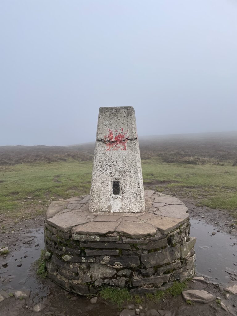
We couldn’t see the summit of Hay Bluff from the carpark as it was covered in cloud. And as we ascended the well worn path we were soon also walking in the cloud, and the views disappeared. Once we had reached the trig point on Hay Bluff, we continued across the slightly undulating plateau for 2km or so, until we reached the summit. When I say summit, it’s not actually easy to find the summit of Black Mountain, as it’s a wide flat area. I had to use my GPS to locate the true summit where we also found a small pile of rocks, I assumed to mark the summit.
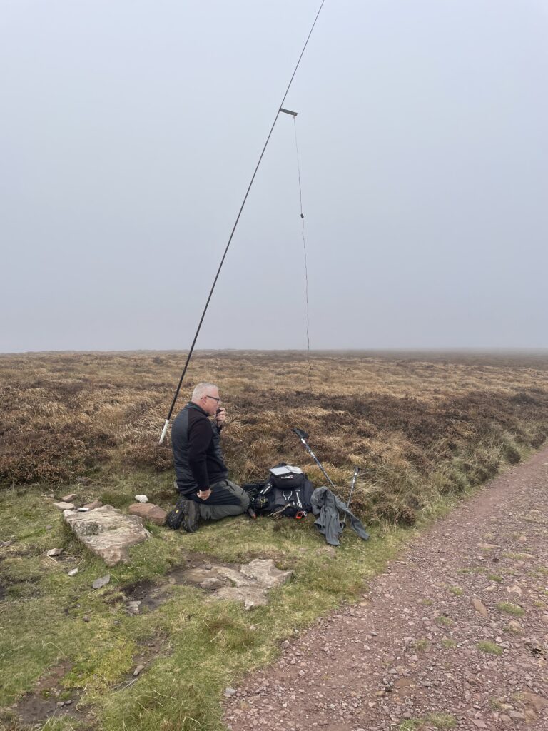
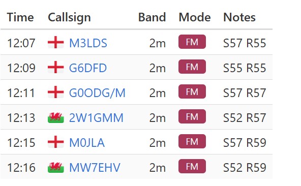
I setup my station just off the main path using the IC705 and the 2m flowerpot on the carbon 6 pole. 2m’s was quiet and I just about managed 6 contacts, but that was enough. Of course the point that I had overlooked, was that I was setup next to what seemed like a busy section of the Offa’s Dyke Path. Fortunately my wife was able to fend the questions from people that seemed to magically appear out of the mist to ask what we were doing. It was also nice to see the ponies, they also seemed to have come to see what we were doing.

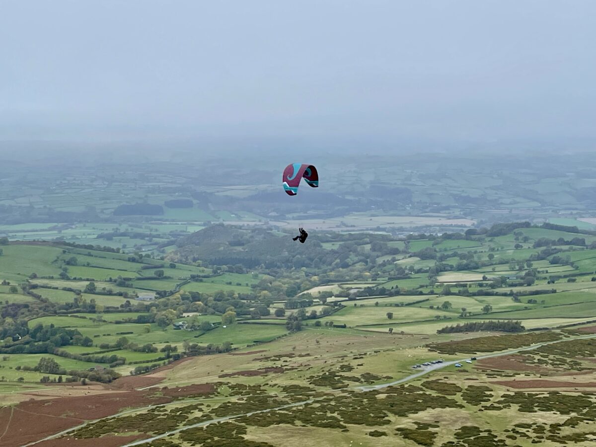
Once the business of SOTA was done we headed back across the plateau towards Hay Bluff. As soon as we dropped off the summit of Hay Bluff we were out of the cloud and the views once again opened up. As we descended to the car we were watching a guy having what looked great fun with his paraglider, in what was now a sunny afternoon. We drove to Hay on Wye to have a late lunch before heading home.

The interactive map below shows a track of the route taken. You can zoom in or out to change the scale. The map can also be shown in full screen. The GPX track can also be downloaded using the link below the map.
Download file for GPSFurther information can be found on the SOTA resource page for the summit