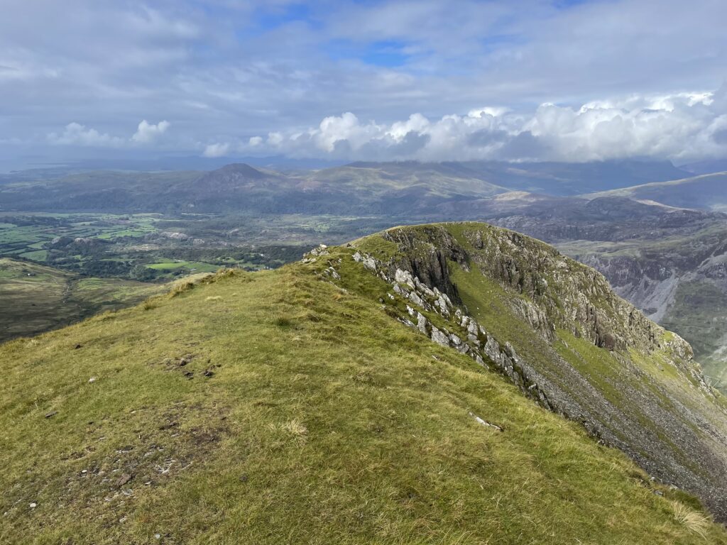
Activity Summary | Weather |
Date: 2nd September 2025 Distance: 7.6 km Ascent: 519 m Max Altitude: 770 m Moving time: 2:58 Total time: 4:28 | Cloudy Temperature 12 ℃ Humidity 93% Feels like 12 ℃ Wind Speed 6.7 km/h Wind Direction S |
Activation Summary
For today’s walk I was heading up Moelwyn Mawr, taking the route through the old Wrysgan quarry, near Tanygrisiau.
There is a carpark at SH 68289 45433, and although there was plenty of parking spaces at 9am, the carpark was full on my return at about 1:30 pm as its not the biggest carpark.
Fortunately for today’s walk I was using a route that I had downloaded from SOTL.AS, thanks to G4JTC for uploading the route. Without a GPS navigation device with the loaded route, navigation through the quarry would have been tricky in places as the route was not always obvious. Once the route starts the ascent up through the quarry, the path does become steep, care would be needed in wet weather as the wet slate can become very slippy. Fortunately, although rain showers were forecast the weather remained dry for the ascent.
Walking past the old quarry workings you can only imagine how busy this quarry would have been in its day. These slate mines were a major industry in this area from the late 1700’s until the 1970’s. On this walking route you can see the old tunnel entrances to the mines, some more visible than others.
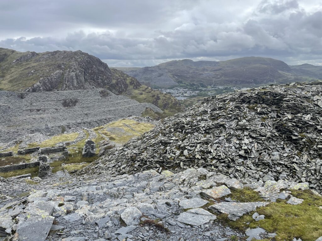

Once clear of the quarry the path is straightforward and the summit soon comes into view.
I was surprised how many people were crossing the summit as I approached, but I soon learned that it was the Dragons Back ultra trail run and today part of the route crossed the summit of Moelwyn Mawr.
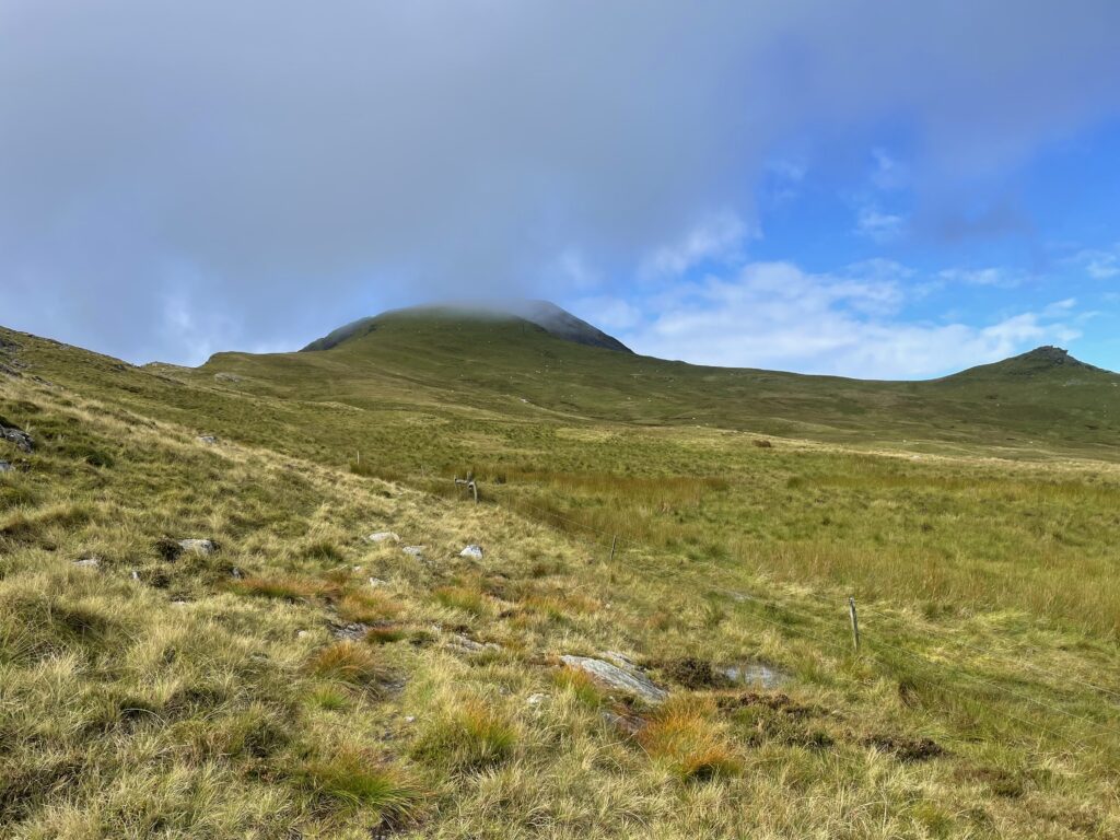
Once on summit I took the usual 360 video before setting up my station, clear of the trig point, so as not to get in the way of the runners.
And so on with the SOATA activation, I started on 2m’s using the FT65 with an external mic and the SRH770 aerial. I had the FT65 in the 3D printed stand. After self spotting on 145.400, first in the log with a S2S was M7GTU/p on Arnside Knott, G/LD-058. I had 3 more QSO’s before 2m’s dried up. This summits has good take off and I could hear lots of 2m activity as I tuned through the channels. I am sure a call on 145.500 would have generated more QSO’s if I had needed to.
I then setup on 20m’s using the telescopic 20m 1/4 wave antenna and the Icom IC705. I was expecting HF conditions to be poor after looking at the propagation forecasts earlier in the day, however the band was in reasonable shape. I had 14 QSO’s in the log on 20m’s before the callers dried up.

As I wrapped up on HF, I could see the rain moving across the valley, and so it was time to get packed away. With most of the gear packed away I had one last flick through 2m’s and just managed to catch John, G0MHF finishing up on Billinge Hill, G/SP-017 to bring the S2S count to 2. As I was logging the QSO with John the rain arrived. I was happy that I had managed to complete the activation all bar the last minute without any rain.
I descended using the same route as for the ascent, and after about an hour I was back in the car eating my dinner and drinking coffee.

Equipment Used
- Icom IC705
- Yaesu FT65
- 20m telescopic 1/4 wave antenna
- SRH770 (BNC) 2m antenna
- 4000 mAHr LifePo4 Battery
- PoLo logging app on iPad mini
Parking Location What3Words
///venturing.shunts.stagsInteractive Map of the route
The interactive map below shows a track of the route taken. You can zoom in or out to change the scale. The map can also be shown in full screen. The GPX track can also be downloaded using the link below the map.
Download file for GPS