Activity Summary
- Date : 23rd February 2026
- Distance : 2.65 km
- Ascent : 252 m
- Max Altitude : 609 m
- Time to Summit : 0:35 hrs
- Total Activation Time : 2:56 hrs
Weather
- Cloudy
- Temperature 8 ℃
- Feels like 0 ℃
- Humidity 87%
- Wind Speed 24 km/h
- Wind Direction WSW
Equipment Used
- Icom IC705 (10w)
- 2m Flowerpot antenna (homebrew)
- SOTABEAMS Carbon 6 pole
- PoLo logging app on iPad mini
Parking Location What3Words
///lawns.facing.quitActivation Report
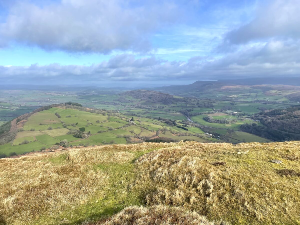
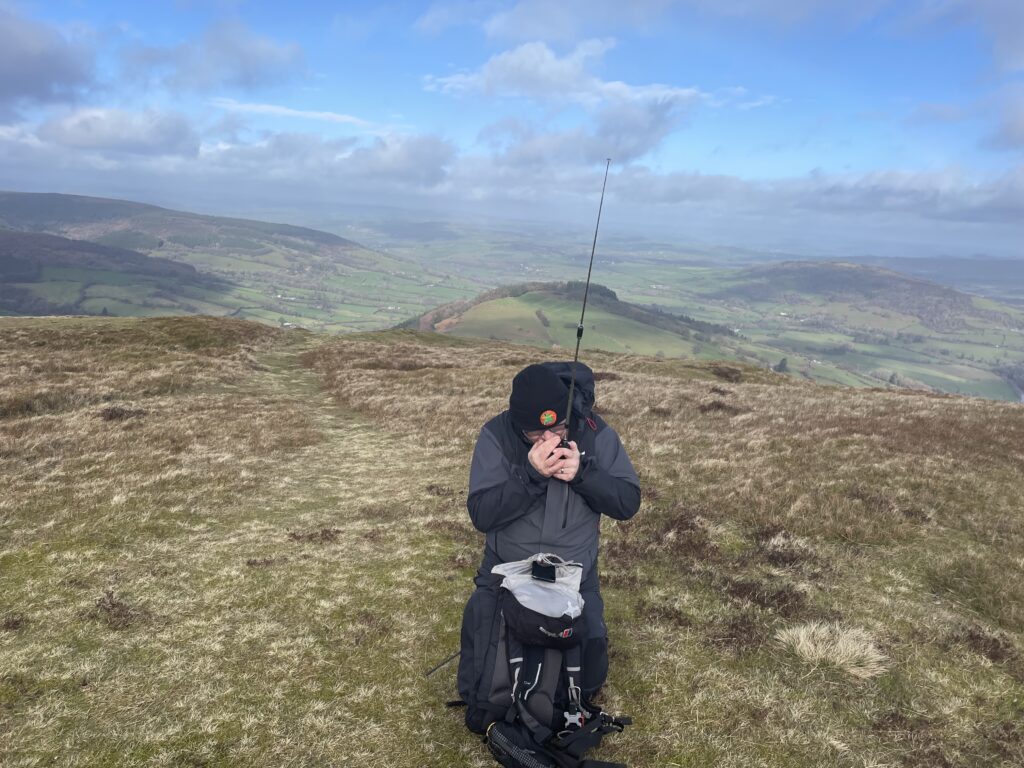
This was the second activation whilst on our weeks holiday, in the Brecon Beacons (Bannau Brycheiniog). I pulled up at the parking at about 9:50 am, the location for the parking is SO 16074 28329. It was just before 10 am when I started out. After passing through a short muddy section, I settled into a steady ascent up a very obvious path. At around the 440m contour line, there is short very steep section. After all the rain, this section was muddy and slippery in places. I reached the summit in 35 minutes, and took the obligatory 360 video from the summit.
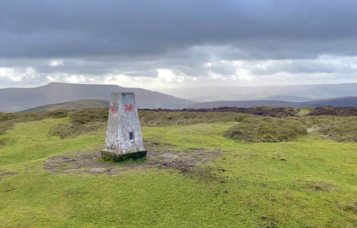
Luckily, the local geography seems to offer some nice hollows on the summits. Mynydd Troed was no exception, there was a perfect hollow just a few metres from the trig point, making a great operating location to shelter out of the wind. You could have actually thrown a small tarp over the top of the hollow to make a shelter.
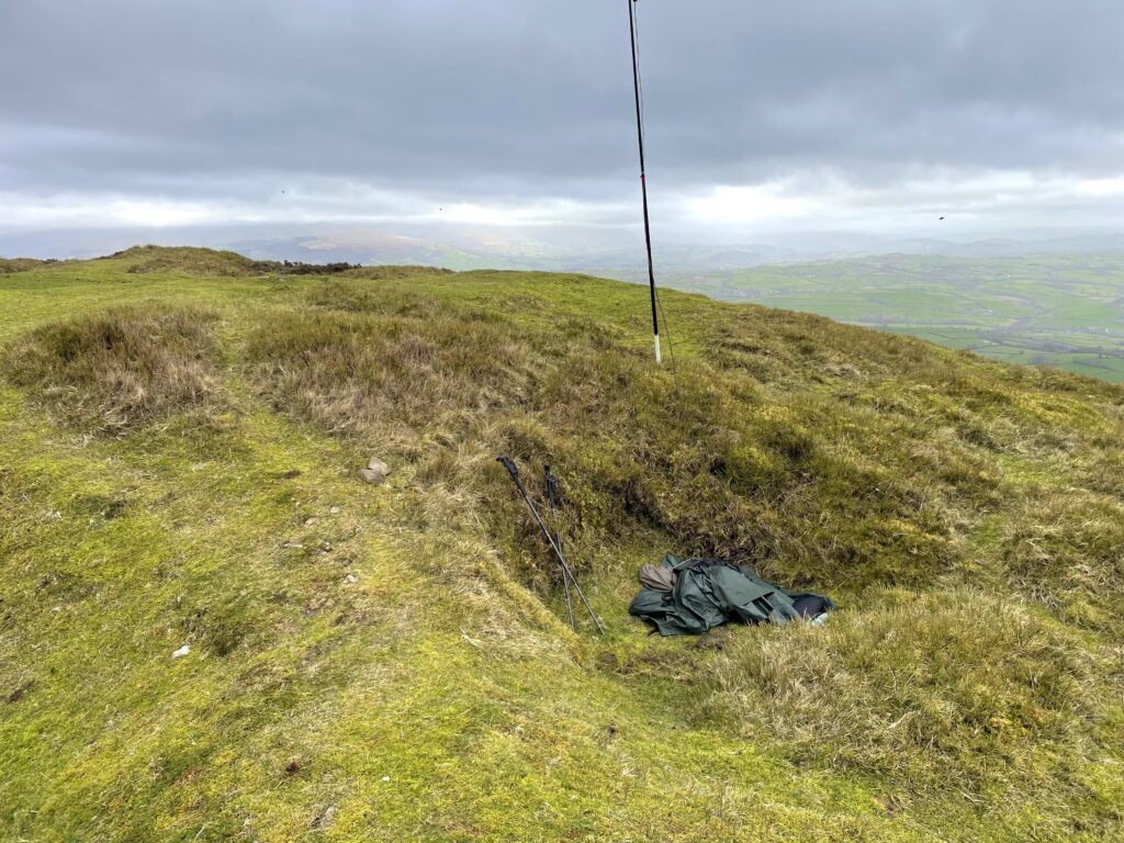
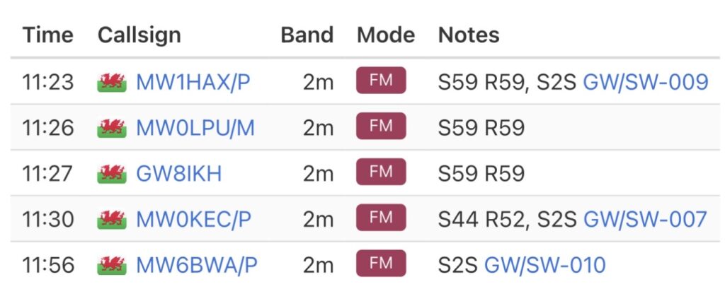
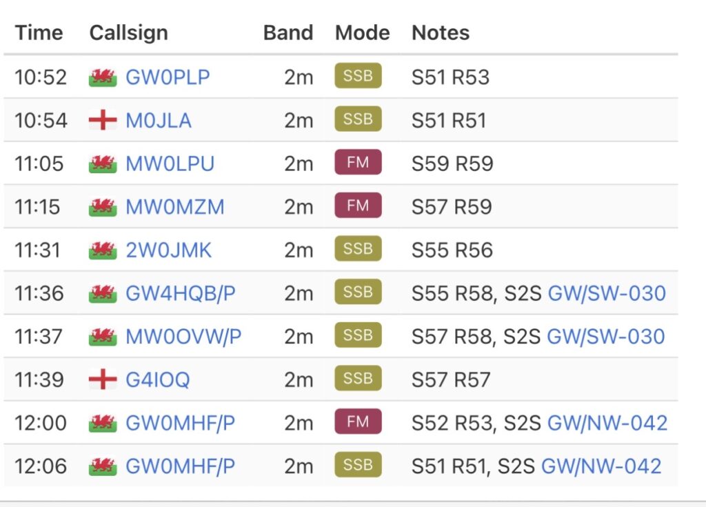
I setup the 2m flowerpot antenna on the carbon 6 pole, and fired up the IC705 with an external battery. I spotted on 2m SSB, although I hadn’t intended too. The PoLo logging app is a great one stop shop for SOTA logging. You can just type SPOT into the callsign field, and if you have data coverage, your spots away. It simply spots the frequency and mode you have entered in the log. And there was my error, I had the IC705 on 145.375 FM. However, I hadn’t changed the PoLo frequency from my last activation, and so I had actually spotted on 144.285 SSB. After a few minutes I had realised my mistake, and quickly changed the IC705 to 144.285. Fortunately Don, GW0PLP had been patiently waiting. I had another contact with Rod, M0JLA and then 2m SSB dried up. Switching to 2m FM, I eventually managed to get another 2 contacts in the log. It had taken 23 minutes to qualify the summit. With the summit qualified, I switched back to 2m SSB and managed a few more contacts. I had two S2S contacts from GW/SW-30 with Gillian, M0OVW and Phil, G4HQB. I think I was suffering a bit of summit brain, as for some reason I had given Phil my summit reference from the day before. Luckily Gillian had spotted my mistake.
I was just finishing up when I noticed John, G0MHF, had spotted himself on my local summit back home, GW/NW-042. I chased John on 2m FM followed by a contact on 2m SSB. What had started out as a very slow day ended up with a reasonable haul in the log, see below for full details.
On my descent, I walked past the top of the steep muddy section, descending by zigzagging the contour lines for a short while. You can see my detour on the route map below. It didn’t take long to get back down to the car. I was happy with another winter bonus activation in the bag.
The interactive map below shows a track of the route taken. You can zoom in or out to change the scale. The map can also be shown in full screen. The GPX track can also be downloaded using the link below the map.
Further information can be found on the SOTA resource page for the summit