

Activity Summary
- 📅 Date : 11th September 2026
- 📏 Distance : 4.85 km
- ⬆️ Ascent : 218 m
- 🏔️ Max Altitude : 2063 m
- ⏱️ Time to Summit : 0:57 hrs
- 🕐 Total Activation Time : 2:48 hrs
Weather
- ☁️ Cloudy
- 🌡️ Temperature 6 ℃
- 🌡️ Feels like 4 ℃
- 💧 Humidity 84%
- 💨 Wind Speed 2 km/h
- 🧭 Wind Direction W
Equipment Used
- QRP Labs QMX
- 20m 1/4 wave telescopic ground plane antenna
- 3000 mAh LiIon 3S1P battery pack
- SRH770 antenna
- FT65 Hand Transceiver
- PoLo logging app on iPad mini
Parking Location What3Words
///sitting.palettes.gardensActivation Report
SOTA has definitely taken a back seat this summer. We have been busy with various family gatherings, and of course my campervan conversion project. The latter will hopefully come in handy for some autumn and winter activating.
But before I can get back to some G land activating, we are currently staying in Interlaken, Switzerland, in our motorhome. This presented the perfect opportunity to activate Burgfeldstand that stands above Lake Thun. It was a twenty minute drive in our hire car from the campsite, to the Beatenbucht funicular train station. It was about 9:30 a.m. when we arrived. There was plenty of parking and it cost us about £9 for the day. After taking the funicular train to Beatenberg, we then took the cable car to the summit of Niederhorn.

Once at the summit station we had a coffee in the cafe before setting off for Burgfeldstand. The cafe actually had a full fry up breakfast available, which is good to know.
The views from the Niederhorn are just amazing. Even our old Border Terrier stuck his head out of his carrier to admire the views.
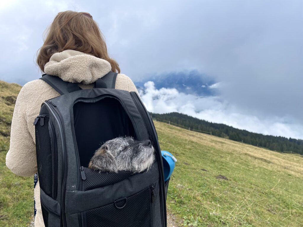
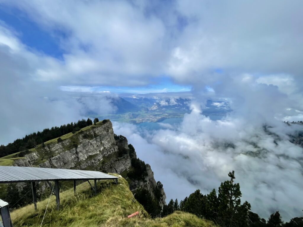
We set off walking at about 10:50 a.m., and it took just under an hour to reach the summit of Burgfeldstand. There was some patchy cloud around so the best views were to come later.

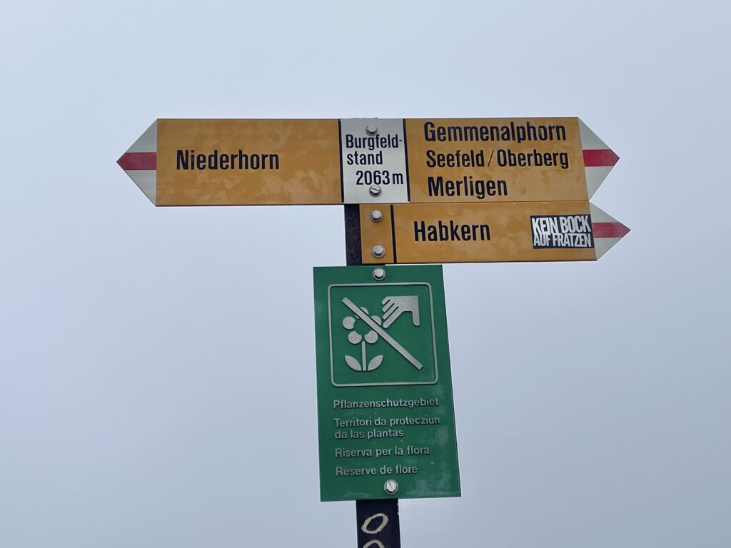
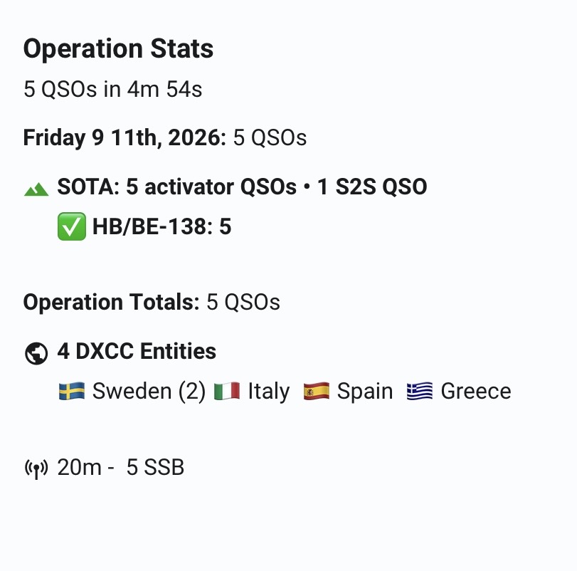
Once on the summit, I set up on 20m. I was using my ¼ wave telescopic whip and a QMX. First in the log was Fabio, IK2LEY on ISO/IS-052. This was followed by four more contacts, bringing the QSO count to five. I did try 2m FM, but didn’t have much luck with that.
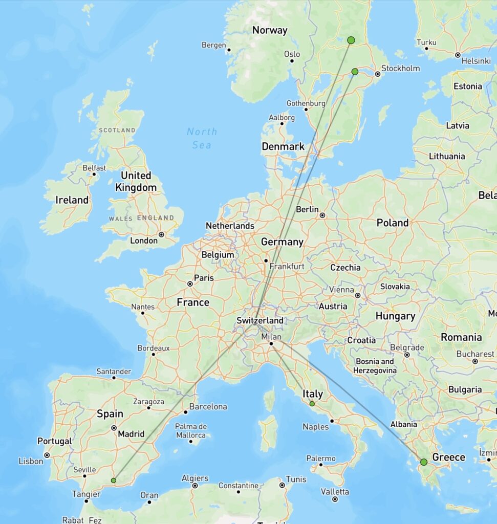
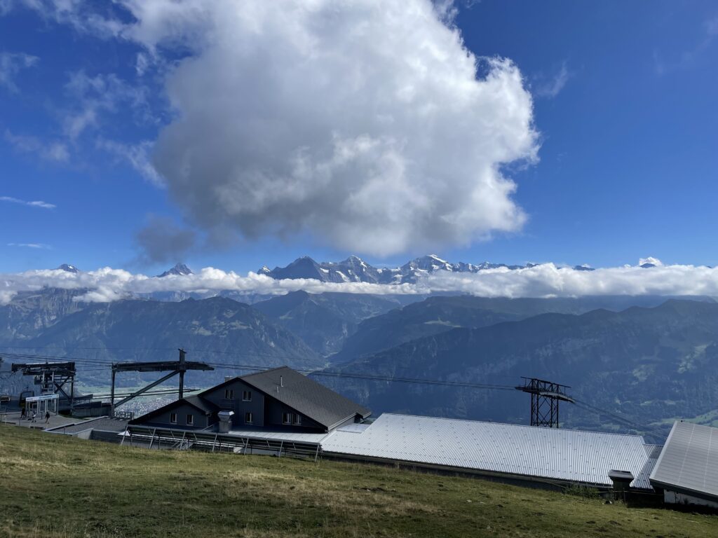
With the activation complete, we headed back down to the Niederhorn station enjoying the magnificent views around the Niederhorn. We had lunch in the restaurant, enjoying our first fondue of the week.

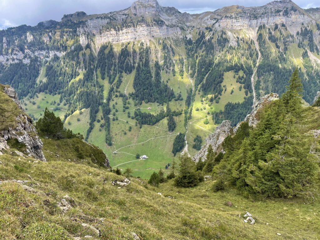
After some further loitering we eventually made our way back down the mountain. If Carlsberg organised SOTA tours, it would probably be just like this one.
The map below shows a track of the route taken.
Further information can be found on the SOTA resource page for the summit.