

Activity Summary
- 📅 Date : 14th October 2026
- 📏 Distance : 9.79 km
- ⬆️ Ascent : 687 m
- 🏔️ Max Altitude : 737 m
- ⏱️ Time to Summit : 2:36 hrs
- 🕐 Total Activation Time : 5:27 hrs
Weather
- ☁️ Cloudy
- 🌡️ Temperature 11 ℃
- 🌡️ Feels like 7 ℃
- 💧 Humidity 81%
- 💨 Wind Speed 55 km/h
- 🧭 Wind Direction SW
Equipment Used
- Icom IC705 (10w)
- 2,500 mAh LiFePO4 battery pack
- SRH770 antenna
- PoLo logging app on iPad mini
Parking Information
- 📍 What3Words : ///garden.skillet.swooning
- 🗺️ OS Grid Reference : SH 68393 30188
- 🚗 Spaces : Approximately 6 cars
- 💷 Parking Charges : Free
The Walk Up
I set off at about 9:30 am, on a nice autumnal morning, with no sign of the wind that had been forecast. I soon turned off the fire road, heading up through a forest and climbing up alongside the Pistyll Gwyn (waterfalls).
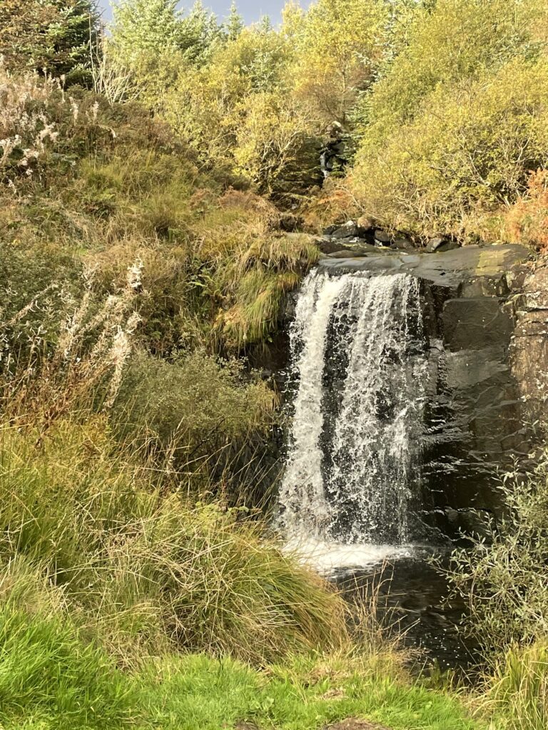
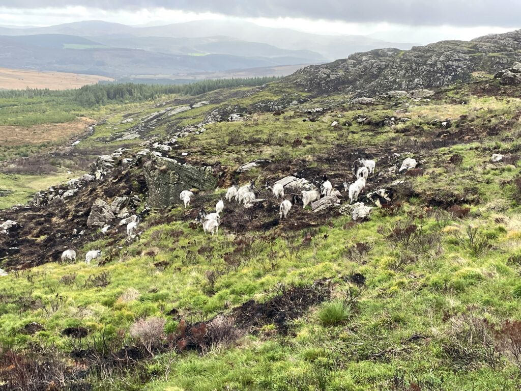
After about a kilometre and a half a gate is reached, marking the start of open moorland. It was also at this point that I could start to see the extent of the fire damage that had ravaged this area earlier this year.
The path from the gate becomes a bit gnarly and some small sections of the path have been eroded away due to fire damage.
As I reached somewhere around 400 metres of ascent, I was pleased to come across a herd of mountain goats, grazing on some of the greener areas.
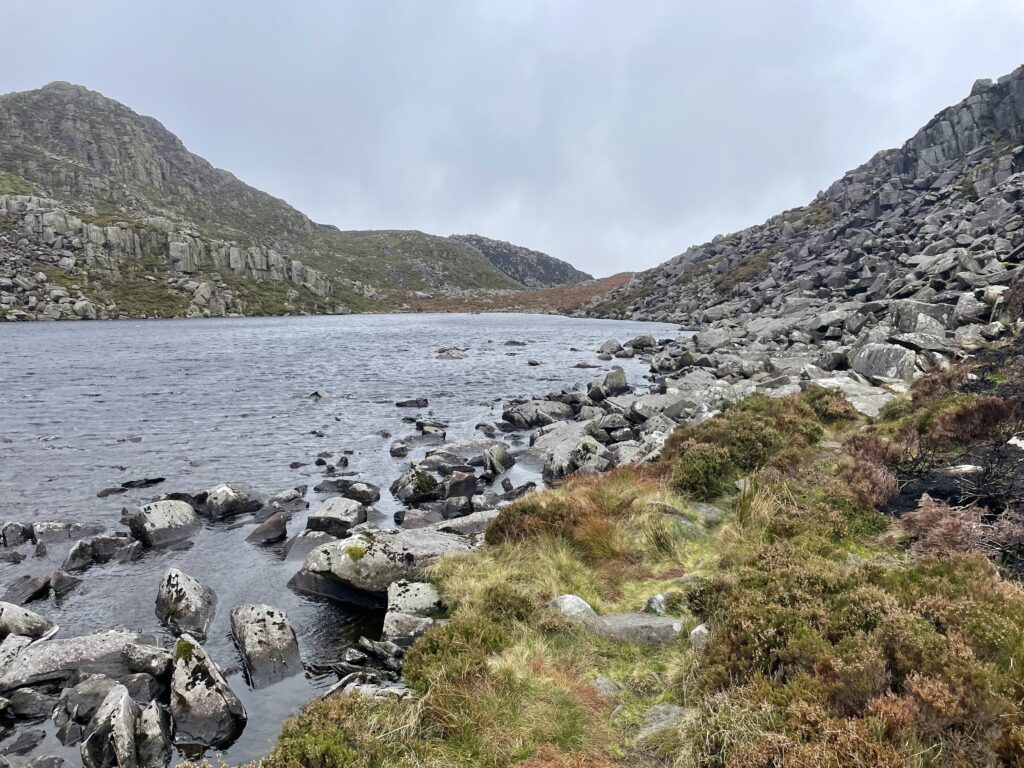
Eventually I arrived at Llyn Du, and so did the wind. Up until now, I had been walking on the leeward side of the hill. I was now getting the full force of the 50 km/hr wind. Navigating the short boulder field along the edge of the Llyn was a bit interesting, having been blown off balance a couple of times.
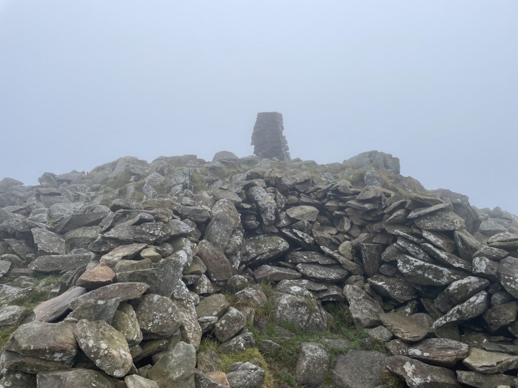
Once on the other side of the Llyn the steeper ascent to the summit begins. Eventually, after 2 1/2 hours of what felt like quite a slog, I reached the summit. The wind was now crazy and standing had become challenging at times. After tapping the trig point, I hunkered down in the stone shelter.
The Activation
I had quickly made the decision that I wasn’t going to use my carbon pole. I don’t think it would have survived the wind. Instead, I opted to use the SRH770 telescopic antenna, plugged straight onto the IC705. It was certainly a compromise, especially since most of the antenna was below the shelter wall. The saving grace was that I had line of sight to the coast. With the radio wedged between my knees I was ready to get on air.
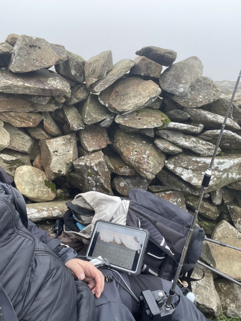
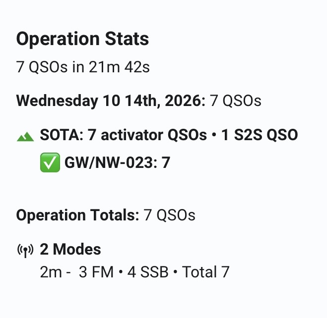
Just as I was ready to go, I noticed a spot from Jared, GW5JFJ on Moel Hebog, GW/NW-014. I had soon worked Jared and had my first contact in the log. I was struggling to get a spot out, as I started calling on 2m SSB. Thankfully, Don, GW0PLP had been following my APRS tracker and came back to my call. I soon had Don in the log and he kindly put a spot on the SOTA reflector for me. Fortunately some more regular callers followed, and to my relief, I had soon passed the required four contacts to get the points for the summit. After swapping over to 2m FM, I managed another two contacts, bringing my QSO count to seven.
Given the summit conditions, I wasn’t going to hang around any longer than needed.
Final Thoughts
I was glad to descend below the cloud and gain some respite from the worst of the wind. As I made my way back down to the car, I pondered on my walk of the day. Rhinog Fawr had mentally made it onto my, done it, but never again list. Maybe, I will give it a try from the west next time.

The interactive map below shows a track of the route taken. You can zoom in or out to change the scale. The route may contain errors and should be used only as a guide.
Further information can be found on the SOTA resource page for the summit