Activity Summary | Weather |
Date: 11th August 2025 Distance: 8.6 km Ascent: 924 m Max Altitude: 947 m Moving time: 3:57 Total time: 5:42 | Cloudy Temperature 18 ℃ Humidity 82% Feels like 19 ℃ Wind Speed 2.2 km/h Wind Direction SE |
Activation Summary
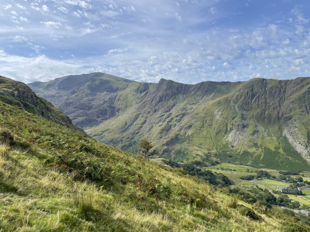
I chose to hike up Y Garn as a solo summit, having recently activated the two adjacent summits of Elidir Fawr and Glyder Fawr earlier in the summer. I wanted to try this route from the Nant Peris park and ride car park, as it avoids any road walking or the need to hop on the bus. However it doesn’t seem to be a popular route and I was soon to find out why.
I started the route taking the path that starts from the side of toilet block in the Nant Peris carpark to emerge on A4086, crossing over the road and walking through the campsite in a generally NE direction. On reaching the top of the campsite and following the path through a gate, the path became somewhat obscured by ferns. From here the route starts to climb steeply. There are stiles to cross the walls/fences, although I overshot the path near the start of the climb, and had to follow the 270m contour line for about 50m through waist height ferns, in northerly direction to cross the stile. After crossing the first ladder stile the path became more defined.
This route did feel quite a slog, especially with my pack loaded with HF radio equipment and water weighing in at 11.5 kg. The ascent took about 3 hours with the gradient remaining fairly consistent until reaching the ridge at which you turn right to head for the summit of Y Garn.
On approach to the summit it became apparent that there had been a hatch of flying ants. There were large swarms and although I had applied insect repellent before setting of from the car, this did not seem to deter them. After reaching the summit I dropped down about 15m, where there was a slight breeze blowing over the edge. The breeze seemed to be enough to reduce the flying ants to a bearable level. I quickly made the decision that this was going to be a 2m only activation as the flying ants were becoming quite menacing.
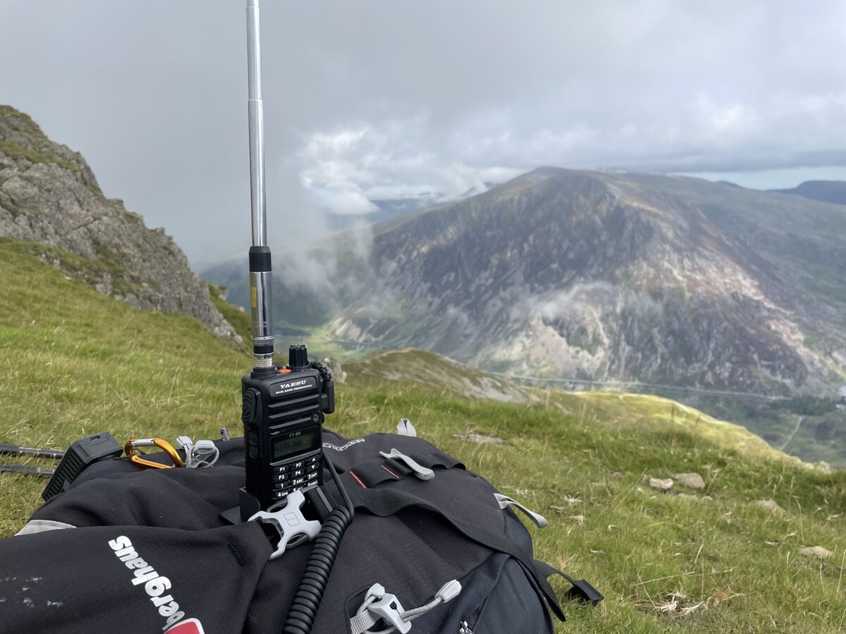
I setup up my station using the Yaesu FT65 with an SRH770 antenna and after around 10 minutes I had 6 QSO’s in the log. I packed away keeping my FT65 with the stock antenna to hand. Just as I was about start the descent I saw a spot from Kevin MW0KXN on GW/NW-031 Esgeiriau Gwynion, and so managed another QSO giving me a total of 7 QSO’s, 1 S2S and 1 complete.

Equipment Used
- Yaesu FT65
- SRH770 antenna
- 3D printed holder for the FT65
- PoLo logging app on iPad mini
Parking Location – What3Words
///definite.documents.caressingInteractive Map of the route
The interactive map below shows a track of the route taken. You can zoom in or out to change the scale. The map can also be shown in full screen. The GPX track can also be downloaded using the link below the map.
Download file for GPS