Activity Summary
- Date : 2nd April 2026
- Distance : 2.89 km
- Ascent : 166 m
- Max Altitude : 661 m
- Time to Summit : 1:00 hrs
- Total Activation Time : 3:16 hrs
Weather
- Partly Cloudy
- Temperature 5 ℃
- Feels like 6 ℃
- Humidity 81%
- Wind Speed 3.2 km/h
- Wind Direction SW
Equipment Used
- Icom IC705 (10w)
- 2m, roll up slim jim
- Decathlon 6m travel pole (fibreglass)
- PoLo logging app on iPad mini
Parking Location What3Words
///thrillers.reliving.familiesActivation Report
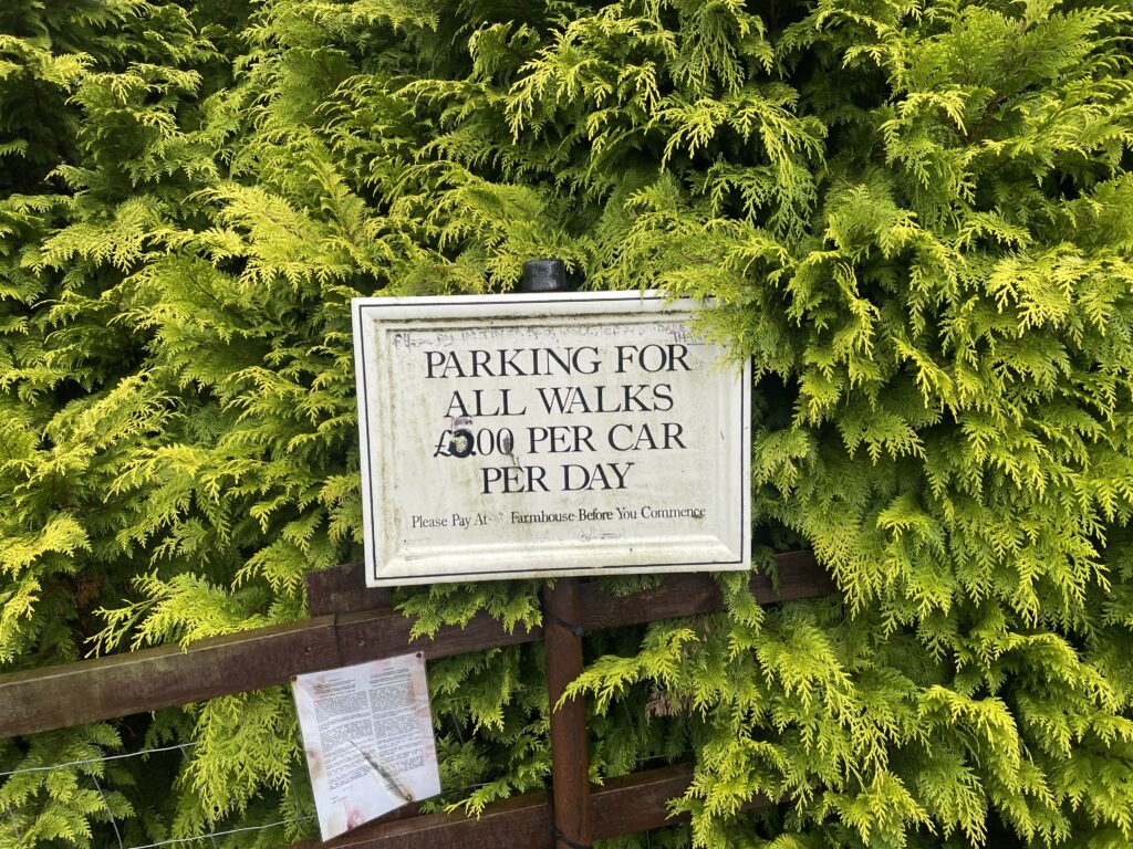
My wife had managed to clear her desk of work for the upcoming Easter holiday and so was able to accompany me on a walk. We had decided on Manod Mawr, ideal for a leisurely type of activation, if approached from the quarry. The parking area is just outside the gates of a working quarry. The parking area is located at SH 73266 45606 and is approached via a long single track road. When you reach SH 71576 43106, keep right and follow the signs for the quarry.
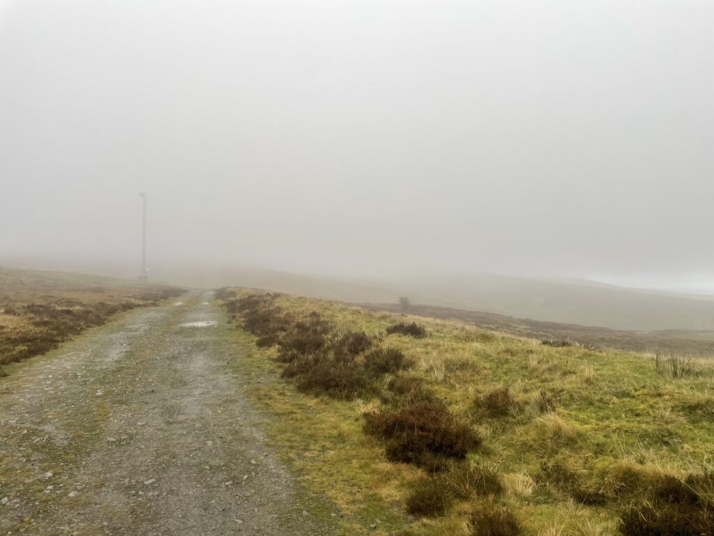
We started out at about 10:40 am, following the clearly marked foot path sign. The path takes you around the back of the quarry and then climbs up. A couple of minutes away from the carpark, you pass the large gates that guard the entrance to some underground caverns. I had no idea until Gerald, MW0WML, told me, that these caverns were used to store paintings from the National Gallery during WW II.

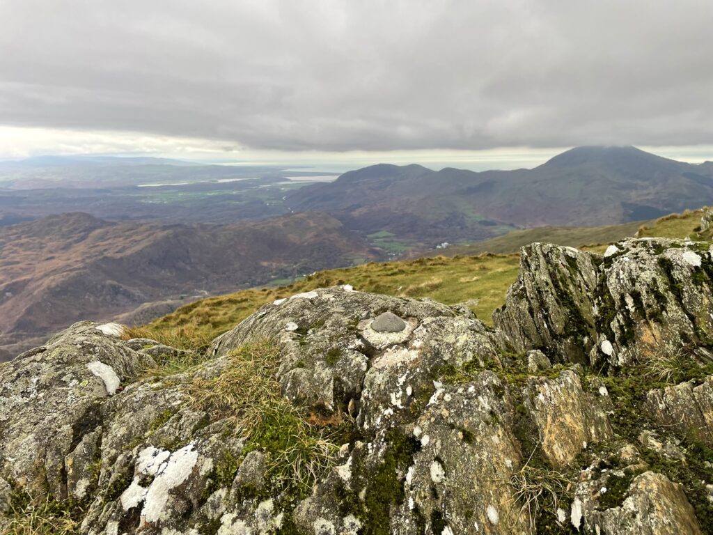
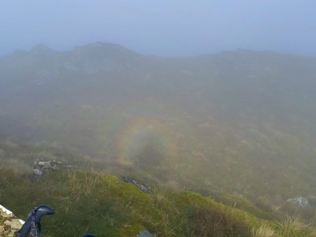
After the initial steep ascent away from the quarry, the remainder of the route to the summit was easy going. Once on the summit we were welcomed by the fantastic views across the North Wales mountains and out to sea across Porthmadog.
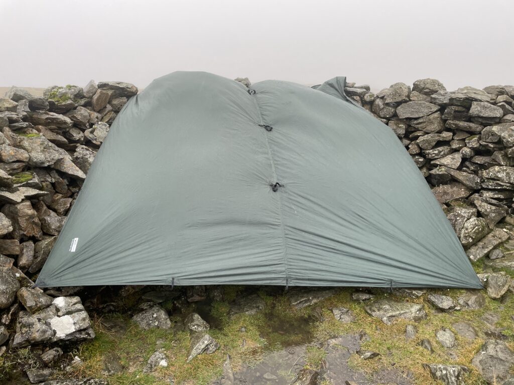
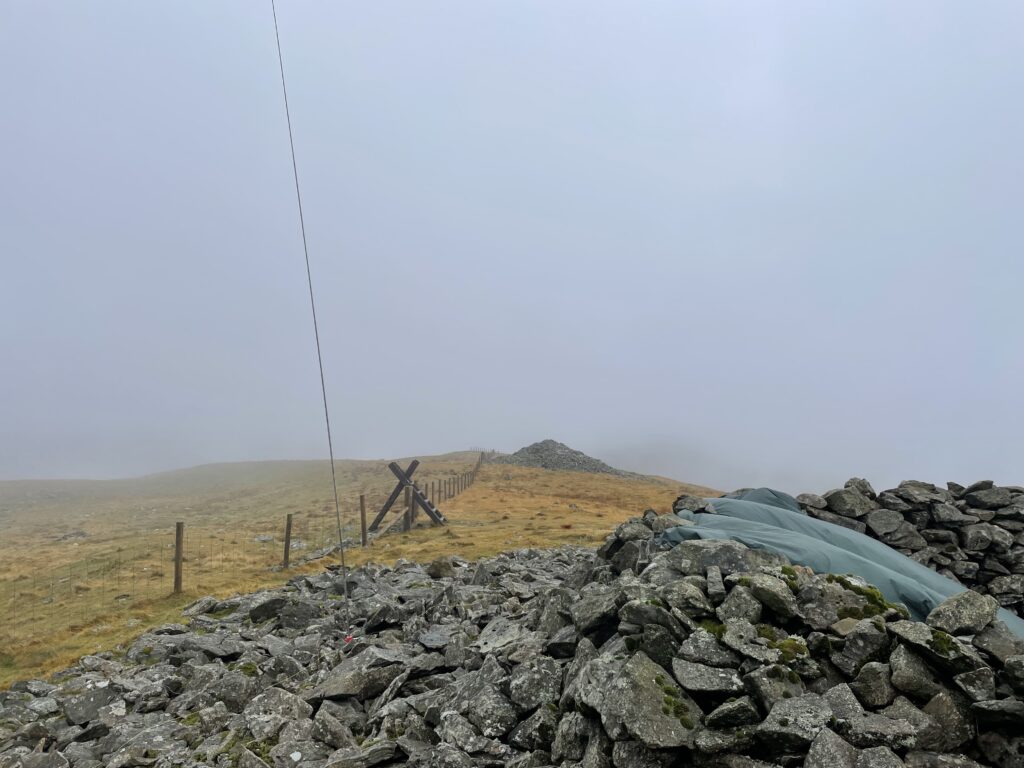
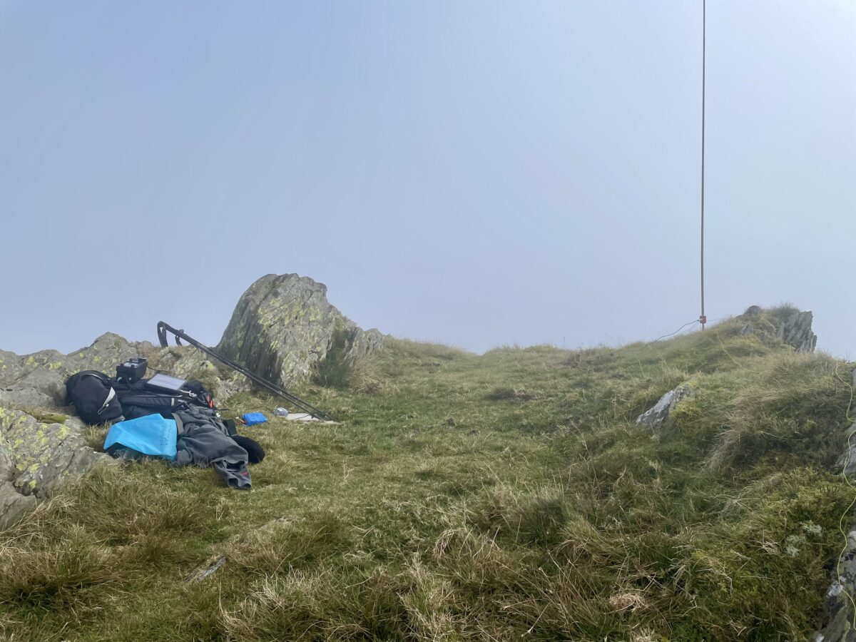
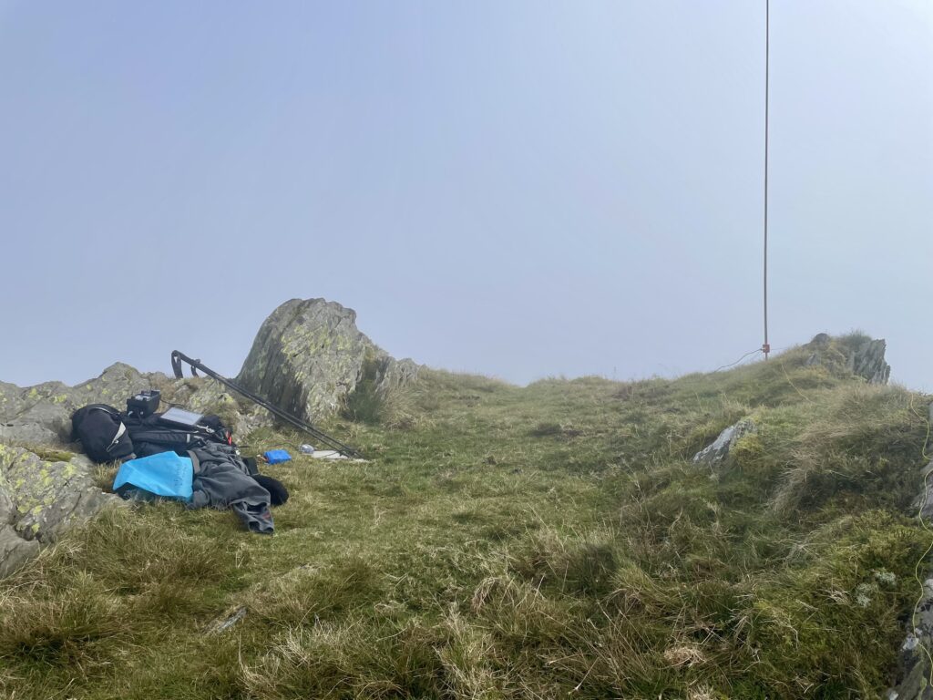
We made ourselves comfortable in the summit shelter and I deployed my human pole support😊 I then setup my station using the IC705 and a slim Jim antenna on the pole.

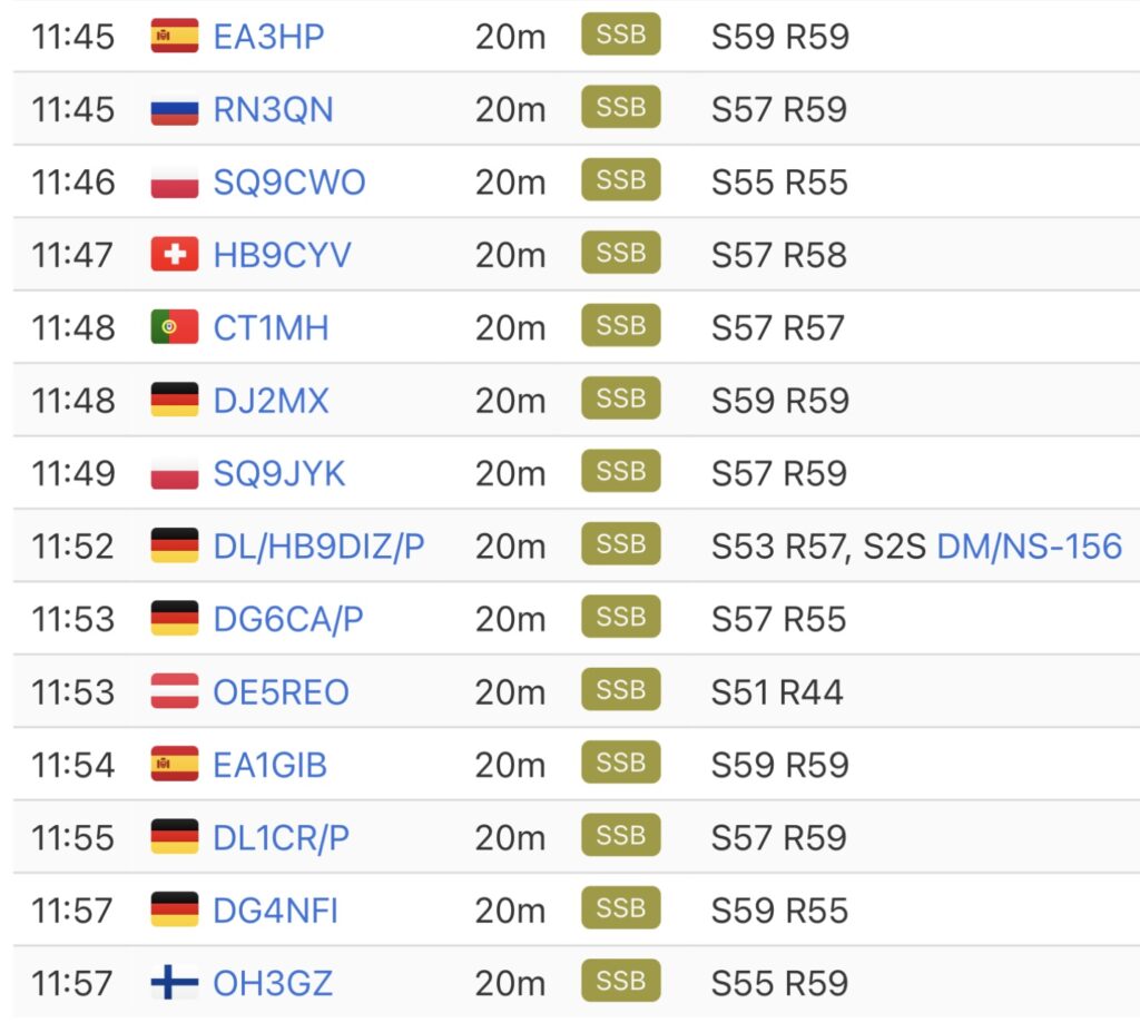
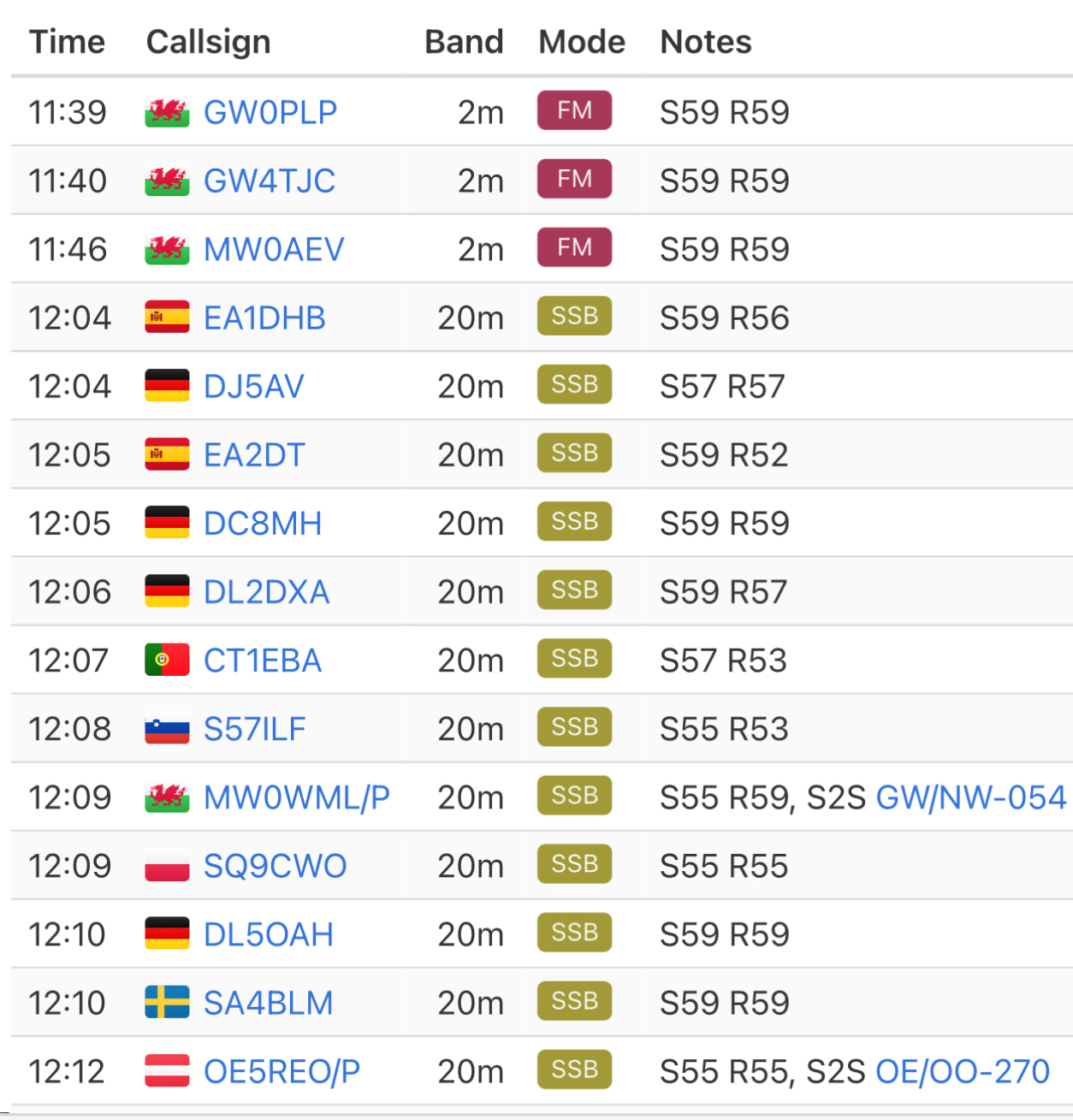
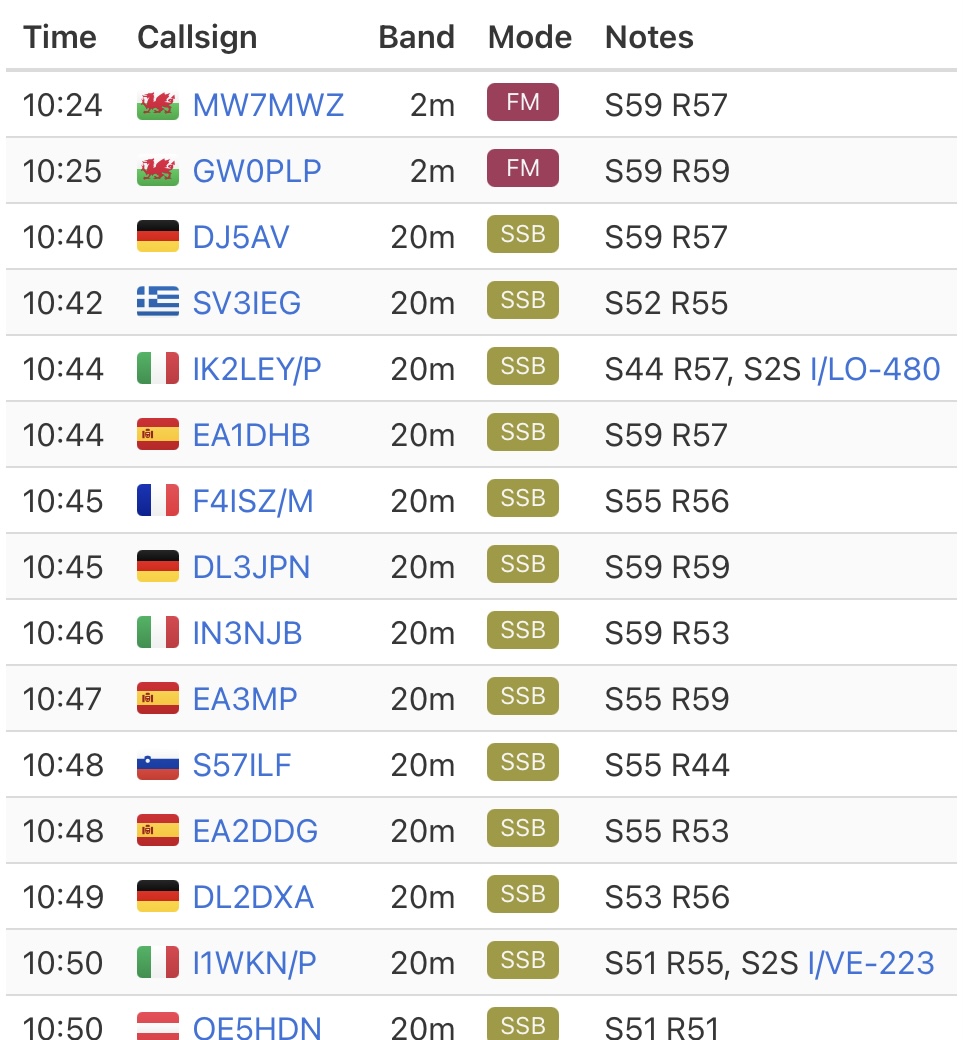
First in the log again was Don, GW0PLP. I worked four more callers on 2 SSB before chasing Gerald, MW0WML on Hope Mountain. After a call on 144.300, I managed another couple of SSB contacts, including a summit to summit contact with Andy, G8CPZ in the lake district. I then switched to 2m FM and worked a few more familiar callsigns, including another summit to summit with Martin, M8BIA on the Gun near Leek.

After about forty minute on air I went QRT and packed away. It was nice to be able to relax on the summit and enjoy a flapjack and a cup of coffee in the spring weather. After taking in some more views we headed back to the car, whilst also planning our non SOTA walk for Saturday. Well maybe a handheld transceiver will find its way into the rucksack, just in case 😊


The interactive map below shows a track of the route taken. You can zoom in or out to change the scale. The map can also be shown in full screen. The GPX track can also be downloaded using the link below the map.
Download file for GPSFurther information can be found on the SOTA resource page for the summit